
Capital Sông Cầu Area 487 km² Local time Tuesday 6:24 PM | Time zone UTC + 7 (UTC+7) Population 101,521 (2009) | |
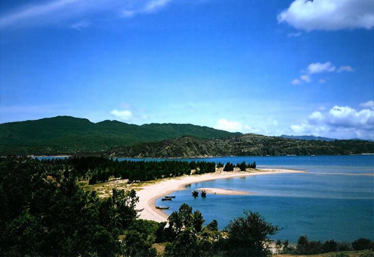 | ||
Weather 24°C, Wind N at 5 km/h, 86% Humidity Points of interest Xuan Dai Bay, Bãi biển Ôm, Bai Nom Beach | ||
Sông Cầu is a town (thị xã) of Phú Yên Province in the South Central Coast region of Vietnam.
Contents
- Map of Tx SC3B4ng CE1BAA7u PhC3BA YC3AAn Province Vietnam
- quan h b c ninh karaoke s ng c u n c ch y l th minh th nh
- References
Map of Tx. S%C3%B4ng C%E1%BA%A7u, Ph%C3%BA Y%C3%AAn Province, Vietnam
After Vietnam War, Sông Cầu was merged into Đồng Xuân District in 1976. The latter was then combined with Tuy An District to become Xuân An District in March 1977, but Xuân An was soon split again into the two previous districts in September 1978. Sông Cầu Township was the seat for those districts. On 27 June 1985, Sông Cầu District was split from Đồng Xuân District. On 28 August 2009, the whole Sông Cầu District was upgraded into Sông Cầu Town.
Sông Cầu Town is subdivided into 4 wards (Xuân Yên, Xuân Phú, Xuân Thành, and Xuân Đài) and 10 communes (Xuân Thọ 1, Xuân Thọ 2, Xuân Lâm, Xuân Phương, Xuân Thịnh, Xuân Cảnh, Xuân Hoà, Xuân Bình, Xuân Lộc, and Xuân Hải). At the time of establishment (2009), it has a population of 101,521 and covers an area of 489.28 km². The local government's offices are located in Xuân Phú Ward.