
Elevation 258 m (846 ft) Postal address BP: 14 Area 4,471 km² | Time zone WAT (UTC+1) Area code(s) (+229) 23 Local time Tuesday 10:47 AM | |
 | ||
Weather 37°C, Wind N at 16 km/h, 20% Humidity | ||
Ségbana is a town, arrondissement and commune located in the Alibori Department of Benin.The commune covers an area of 4471 square kilometres and as of 2013 had a population of 89,268 people.
Contents
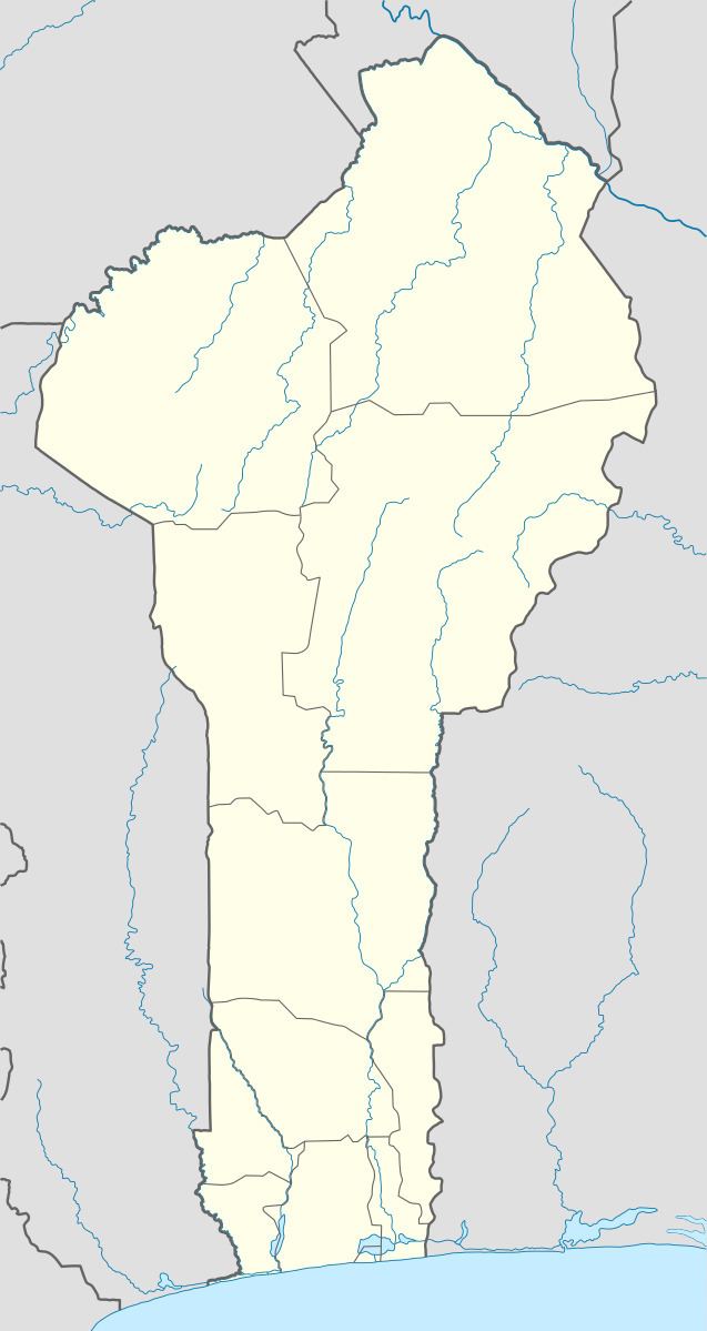
Map of S%C3%A9gbana, Benin
Geography
The commune of Ségbana is located 722 kilometres from Cotonou and lies on the Niger River. Communally it is bounded to the north by Malanville, south by Kalalé, west by Kandi and Gogounou and east by Nigeria.
Administrative divisions
Ségbana is subdivided into 5 arrondissements; Ségbana, Libantè, Liboussou, Lougou and Sokotindji. They contain 25 villages and 5 urban districts.
Economy
Most of the population are engaged in agricultural activities followed by trade, transportation and handicrafts. The main crops grown are maize, cotton, sorghum, and yams.
References
Ségbana Wikipedia(Text) CC BY-SA