
Country Brazil Area 390 km² | Time zone BRT (UTC-3) | |
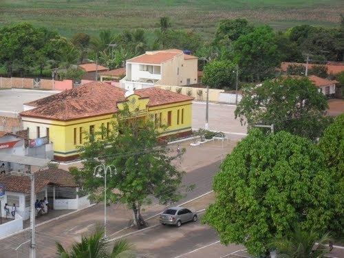 | ||
São Vicente Ferrer is a Brazilian municipality in the state of Maranhão. The estimated population is 20,678 (2015) and the total area is 390 km2.
Contents
Map of S%C3%A3o Vicente Ferrer - Maranh%C3%A3o, Brazil
Location
The municipality has an average elevation of 16m above sea level. The municipality contains a small part of the Baixada Maranhense Environmental Protection Area, a 1,775,035.6 hectares (4,386,208 acres) sustainable use conservation unit created in 1991 that has been a Ramsar Site since 2000.
Important People
On December 15, 1980, São Vicente Ferrer became the birthplace of Mestre Raimundo Irineu Serra, founder of the Santo Daime religion. Born to Sanches Serra and Joana Assunção, the young Irineu stayed in São Vicente Ferrer until he left for the Amazon at age 20 in 1910. His nephew, Daniel Serra, returned with his family to live in São Vicente Ferrer in 2006; formally inaugurating the Santo Daime center "Estrela Brilhante" (Bright Star), on March 22, 2010.