
Area 10,741 km² | Time zone BRT (UTC−4) Local time Tuesday 3:40 AM | |
 | ||
Weather 24°C, Wind NE at 5 km/h, 90% Humidity | ||
Conhe a s o sebasti o do uatum am
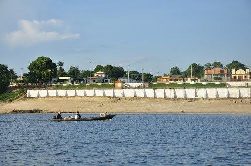
São Sebastião do Uatumã is a municipality located in the Brazilian state of Amazonas. Its population was 8,748 (2005) and its area is 10,741 km².
Contents
- Conhe a s o sebasti o do uatum am
- Map of SC3A3o SebastiC3A3o do UatumC3A3 State of Amazonas Brazil
- Vc conectado wellington s o sebasti o do uatum
- Conservation
- References
Map of S%C3%A3o Sebasti%C3%A3o do Uatum%C3%A3 - State of Amazonas, Brazil
Vc conectado wellington s o sebasti o do uatum
Conservation
The municipality contains part of the 938,720 hectares (2,319,600 acres) Uatumã Biological Reserve, a strictly protected conservation unit created in 2002. It contains about 60% of the 424,430 hectares (1,048,800 acres) Uatumã Sustainable Development Reserve, which protects the lower part of the Uatumã River basin.
References
São Sebastião do Uatumã Wikipedia(Text) CC BY-SA