
Country Brazil Area 10,960 km² | Time zone BRT-1 (UTC-4) Local time Tuesday 2:06 AM | |
 | ||
Weather 24°C, Wind N at 6 km/h, 95% Humidity | ||
Voando em s o francisco do guapor wmv
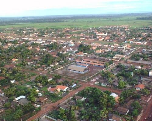
São Francisco do Guaporé is a municipality located in the Brazilian state of Rondônia. Its population was 19,002 (2015) and its area is 10,960 km².
Contents
- Voando em s o francisco do guapor wmv
- Map of SC3A3o Francisco do GuaporC3A9 State of RondC3B4nia Brazil
- Empinadas em s o francisco do guapor
- References
Map of S%C3%A3o Francisco do Guapor%C3%A9 - State of Rond%C3%B4nia, Brazil
The municipality contains 9% of the 36,442 hectares (90,050 acres) Serra dos Reis State Park. It contains 86% of the 2,244 hectares (5,550 acres) Serra dos Reis A State Park, created in 1996. It holds part of the 615,771 hectares (1,521,600 acres) Guaporé Biological Reserve, a strictly protected conservation unit.
Empinadas em s o francisco do guapor
References
São Francisco do Guaporé Wikipedia(Text) CC BY-SA