Neha Patil (Editor)

São Caetano, Pernambuco

Updated on
Edit
Like
Comment
Share on FacebookTweet on TwitterShare on LinkedInShare on Reddit
Area
  
382 km²

Local time
  
Tuesday 2:51 AM

São Caetano, Pernambuco httpsmw2googlecommwpanoramiophotosmedium

Weather
  
22°C, Wind SE at 10 km/h, 95% Humidity

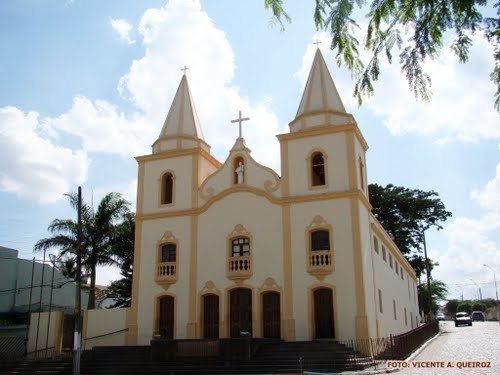
São Caetano, also known as São Caitano is a city in Pernambuco, Brazil.

Contents

Map of S%C3%A3o Caetano - State of Pernambuco, Brazil

Geography

  • State - Pernambuco
  • Region - Agreste Pernambucano
  • Boundaries - Brejo da Madre de Deus (N); Altinho (S); Caruaru (E); Tacaimbó and Cachoeirinha (W)
  • Area - 382.48 km2
  • Elevation - 552 m
  • Hidrography - Capibaribe, Ipojuca and Una River (Pernambuco) rivers
  • Vegetation - Caatinga Hipoxerófila
  • Clima - semi arid hot
  • Annual average temperature - 22.7 c
  • Distance to Recife - 148 km
  • Economy

    The main economic activities in São Caetano are based in textile industry, commerce and agribusiness especially plantations of manioc; and creations of cattle, goats, sheeps and pigs.

    Economic indicators

    Economy by Sector 2006

    References

    São Caetano, Pernambuco Wikipedia