
Local time Sunday 3:00 AM | ||
 | ||
Municipal district Iultinsky Municipal District Rural settlement Ryrkaypiy Rural Settlement Administrative center of Ryrkaypiy Rural Settlement Weather -18°C, Wind W at 10 km/h, 75% Humidity | ||
Ryrkaypiy (Russian: Рыркайпий; Chukchi: Ир-Каппея) is a rural locality (a selo) just to the west of Mys Shmidta in Iultinsky District of Chukotka Autonomous Okrug, Russia. Municipally, Ryrkaypiy is incorporated as Ryrkaypiy Rural Settlement. Population: 766 (2010 Census); .
Contents
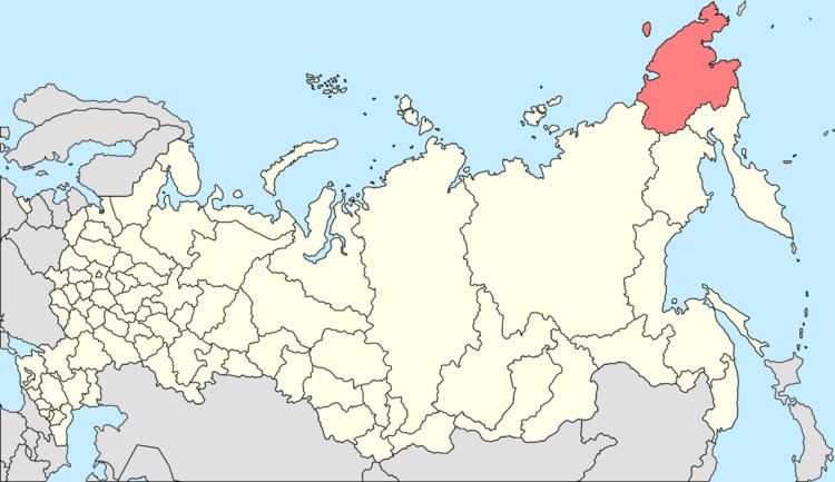
- Map of Ryrkaypiy Chukotka Autonomous Okrug Russia 689360
- Demographics
- History and economy
- Transport
- Climate
- References
Map of Ryrkaypiy, Chukotka Autonomous Okrug, Russia, 689360
Demographics
The village is a small settlement, population as of 2010: 766, of whom 388 were men and 378 women, up considerably from a 2003 estimate of 324, most of whom are of Chukchi descent.
History and economy
The name of the village means "Place of the Walrus" in Chukchi, or "Walrus Jam", to convey the meaning that there are regularly large numbers of Walrus in the vicinity. Unsurprisingly, marine hunting has traditionally been a key source of food and employment for the local indigenous people.
As with several of the rural settlements throughout Chukotka, Ryrkaipiy was the centre for a collectivised farm centred on reindeer. Indeed, it was the central farmstead for the largest of all the reindeer herding farms throughout Chukotka, named Pioneer. Unlike other rural settlements in Chukotka such as Alkatvaam in Beringovsky District and Tavaivaam in Anadyrsky District, following the collapse of the Soviet Union and payments to the farms from the government effectively ceased as Russia moved to a market economy, the workers on this farm were able to keep their reindeer herds going and these herds are still the major source of employment for the local people, despite living on the coast.
As with many Chukotkan villages, there are strong efforts made to keep the traditions of the indigenous peoples alive and although Ryrkaipiy has modern facilities in the shape of a hospital, post office, high school and daycare centre there is also a traditional Chukchi ensemble and cultural centre and Northern Star Native Women's Club.
Transport
Ryrkaypiy is conntected to the outside world only via Mys Shmidta. From there, there is a road linking Mys Shmidta with Egvekinot. There is also a 435 kilometres (270 mi) unpaved road between Mys Shmidta and Komsomolsky, of which 235 kilometres (146 mi) is unpaved road and the remaining 199 kilometres (124 mi) is a snow road. Within the village, there is also a small network of roads including:
Climate
Ryrkaypiy has a Tundra climate (ET) because the warmest month has an average temperature between 0 °C (32 °F) and 10 °C (50 °F).