
OS grid reference TQ939191 Country England Post town RYE Local time Saturday 1:43 PM Dialling code 01797 Civil parish Icklesham | Region South East Sovereign state United Kingdom Postcode district TN31 Shire county East Sussex District Rother UK parliament constituency Hastings and Rye | |
 | ||
Weather 13°C, Wind NE at 35 km/h, 50% Humidity | ||
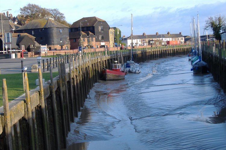
Rye Harbour is a village located on the East Sussex coast in southeast England, near the estuary of the River Rother: it is part of the civil parish of Icklesham. Rye Harbour is located some two miles (3.2 km) downstream of the town of Rye.
Contents
Map of Rye Harbour, Rye, UK
The River Rother from Rye seawards, and including the village of Rye Harbour, is under the control of the Environment Agency. At the village itself there are yacht moorings; a small fishing fleet (coded RX: Rye SusseX); some commercial shipping; and a long-established lifeboat station. There is also a holiday village called Frenchman's Beach alongside the village itself.
The Rye Harbour Nature Reserve was established nearby in 1970 and it now offers special wildlife experiences to 200,000 visitors a year. It has national and international designations and is home to more than 150 rare or endangered species. There is a manned information centre 550 yards (500 m) south of the village at Lime Kiln Cottage.
The village community has set up a pictorial website, aimed at promoting its history.
Rye Harbour is perhaps best known for its fictionalisation as "Westling" in the Romney Marsh children's books of Monica Edwards.
Wildlife trust rye harbour aerial film
History
The village is 200 years old, having been built on an extension of the shingle beaches, progressively deposited by the sea over the last 800 years. These deposits limit access to the original open medieval port of Rye, now two miles (3 km) inland from the sea. The village has one of the chain of Martello Towers constructed during the Napoleonic Wars; it was built on the beachline of the time. The beachline has now advanced a further kilometre southward.
The story of Rye Harbour has thus been shaped by its position at a frontier – not only that with the sea but also of the country. The initial establishment was that of a company of dragoons in 1805, followed shortly after by the first fishermen's huts and the building of the Martello Tower (1809/10). As the Napoleonic wars ended so the smuggling trade which had long flourished all along the south coast again increased in scope and intensity, leading to the establishment of the Coast Blockade. A watch house was built about 1825 to provide shelter and support for the blockade detachments and still stands, complete with the flagstaff for signalling to shipping.
The harbour is also known for the tragedy of the Mary Stanford lifeboat. At 6:45 am on the morning of 15 November 1928, the Mary Stanford from the Rye Harbour RNLI station responded needlessly to a Latvian steamer in distress. The crew of the Mary Stanford did not know that the vessel had already been rescued by another lifeboat and, in heavy rain and seas, all of the seventeen-man crew of the Mary Stanford were drowned. The reason for this is still somewhat contested. The bodies of all but the Coxswain's son, John Head, were found and buried. A memorial service in honour of the Mary Stanford and its crew takes place every year in the village.