
Country United States Time zone CST (UTC-6) Elevation 163 m Local time Saturday 5:51 AM | Established November 5, 1878 ZIP codes 62052, 62054, 62063 Area 73.17 km² Population 421 (2010) | |
 | ||
Weather 14°C, Wind E at 19 km/h, 97% Humidity | ||
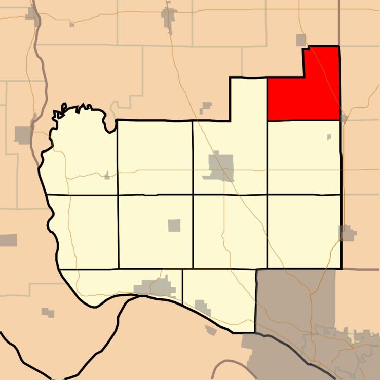
Ruyle Township is one of eleven townships in Jersey County, Illinois, United States. As of the 2010 census, its population was 421 and it contained 162 housing units.
Contents
- Map of Ruyle Township IL USA
- Geography
- Unincorporated towns
- Adjacent townships
- Cemeteries
- Major highways
- School districts
- Political districts
- References
Map of Ruyle Township, IL, USA
Geography
According to the 2010 census, the township has a total area of 28.25 square miles (73.2 km2), of which 28.24 square miles (73.1 km2) (or 99.96%) is land and 0.01 square miles (0.026 km2) (or 0.04%) is water.
Unincorporated towns
Adjacent townships
Cemeteries
The township contains these five cemeteries: Elliott, Kemper, Medora, Oakland and Pruitt.
Major highways
School districts
Political districts
References
Ruyle Township, Jersey County, Illinois Wikipedia(Text) CC BY-SA