
Country United States Time zone CST (UTC-6) Area 123.7 km² Population 1,633 (2010) | Established November 4, 1884 Elevation 157 m Local time Monday 9:29 PM | |
 | ||
ZIP codes 62016, 62044, 62081, 62630 Weather 14°C, Wind N at 18 km/h, 65% Humidity | ||
Rockbridge Township is one of thirteen townships in Greene County, Illinois, USA. As of the 2010 census, its population was 1,633 and it contained 761 housing units.
Contents
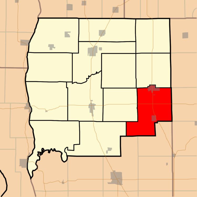
- Map of Rockbridge Township IL USA
- Geography
- Cities towns villages
- Unincorporated towns
- Cemeteries
- Major highways
- Airports and landing strips
- School districts
- Political districts
- References
Map of Rockbridge Township, IL, USA
Geography
According to the 2010 census, the township has a total area of 47.77 square miles (123.7 km2), of which 47.66 square miles (123.4 km2) (or 99.77%) is land and 0.12 square miles (0.31 km2) (or 0.25%) is water.
Cities, towns, villages
Unincorporated towns
(This list is based on USGS data and may include former settlements.)
Cemeteries
The township contains these ten cemeteries: Cannedy, Freer, Hudson, Mitchell, Rives, Taylor Creek, Weisner, Whitlock, Witt and Witt Number 1.
Major highways
Airports and landing strips
School districts
Political districts
References
Rockbridge Township, Greene County, Illinois Wikipedia(Text) CC BY-SA