
Quadrant SW Established 1952 Elevation 1,125 m Population 2,264 (2006) | Ward 11 Annexed 1910 Local time Saturday 4:03 AM | |
 | ||
Weather 3°C, Wind W at 19 km/h, 46% Humidity | ||
501 2406 rideau place rutland park calgary alberta akbar nimji re max professionals
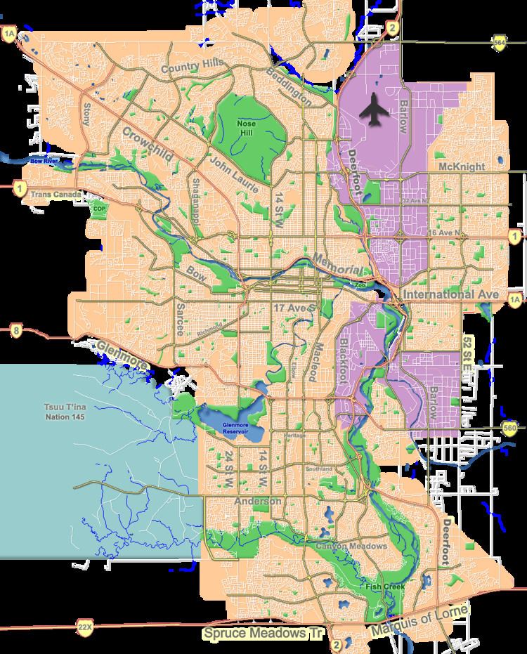
Rutland Park is an inner city residential neighbourhood in the south-west quadrant of Calgary, Alberta. It is bounded to the north by Richmond Road and 33 Avenue, to the east by Crowchild Trail, to the south by Glenmore Trail and to the west by 37 Street W.
Contents
- 501 2406 rideau place rutland park calgary alberta akbar nimji re max professionals
- Map of Rutland Park Calgary AB Canada
- Demographics
- Education
- References
Map of Rutland Park, Calgary, AB, Canada
The area was annexed to the City of Calgary in 1910 (under the name Sarcee Park ) and Rutland Park was established in 1952. It is represented in the Calgary City Council by the Ward 11 councillor.
Demographics
In the City of Calgary's 2012 municipal census, Rutland Park had a population of 7003222700000000000♠2,227 living in 7002972000000000000♠972 dwellings, a -3.6% increase from its 2011 population of 7003230900000000000♠2,309. With a land area of 0.7 km2 (0.27 sq mi), it had a population density of 3,180/km2 (8,200/sq mi) in 2012.
Residents in this community had a median household income of $46,545 in 2000, and there were 15.5% low income residents living in the neighbourhood. As of 2000, 13.2% of the residents were immigrants. A proportion of 8.9% of the buildings were condominiums or apartments, and 53% of the housing was used for renting.
Education
The community is served by Sir James Lougheed Elementary public school.