
Website rutherfordcountync.gov Founded 1779 | Area 1,466 km² Population 66,956 (2013) Unemployment rate 7.3% (Apr 2015) | |
 | ||
Cities Rutherfordton, Forest City, Spindale, Lake Lure, Bostic, Ellenboro, Chimney Rock, Cliffside, North Carolina, Ruth University Isothermal Community College | ||
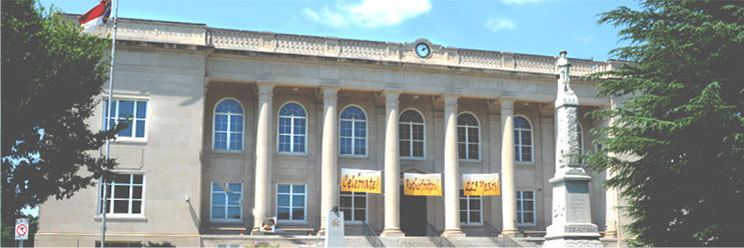
Rutherford County is a county located in the southwestern area of the U.S. state of North Carolina. As of the 2010 census, the population was 67,810. Its county seat is Rutherfordton.
Contents
- Map of Rutherford County NC USA
- History
- Geography
- Adjacent counties
- Major highways
- Demography
- Economy
- Towns
- Village
- Census designated places
- Cities and towns
- Notable people
- References
Map of Rutherford County, NC, USA
Rutherford County comprises the Forest City, NC Micropolitan Statistical Area.
History
The county was formed in 1779 from the western part of the former Tryon County. It was named for Griffith Rutherford, leader of an expedition against the Cherokee in 1776 and a general in the American Revolutionary War.
In 1791 parts of Rutherford County and Burke County were combined to form Buncombe County. n 1841 parts of Rutherford and Lincoln counties were combined to form Cleveland County. In 1842 additional parts of Rutherford and Burke counties were combined to form McDowell County. Finally, in 1855 parts of Rutherford and Henderson counties were combined to form Polk County.
Geography
According to the U.S. Census Bureau, the county has a total area of 566 square miles (1,470 km2), of which 564 square miles (1,460 km2) is land and 1.7 square miles (4.4 km2) (0.3%) is water.
Adjacent counties
Major highways
Demography
As of the census of 2000, there were 62,899 people, 25,191 households, and 17,935 families residing in the county. The population density was 112 people per square mile (43/km²). There were 29,535 housing units at an average density of 52 per square mile (20/km²). The racial makeup of the county was 86.79% White, 11.23% Black or African American, 0.20% Native American, 0.22% Asian, 0.03% Pacific Islander, 0.67% from other races, and 0.74% from two or more races. 1.81% of the population were Hispanic or Latino of any race.
The largest ancestry groups in Rutherford County are:
There were 25,191 households out of which 30.00% had children under the age of 18 living with them, 55.40% were married couples living together, 11.70% had a female householder with no husband present, and 28.80% were non-families. 25.50% of all households were made up of individuals and 11.10% had someone living alone who was 65 years of age or older. The average household size was 2.44 and the average family size was 2.90.
In the county, the population was spread out with 23.80% under the age of 18, 8.00% from 18 to 24, 27.90% from 25 to 44, 24.30% from 45 to 64, and 16.00% who were 65 years of age or older. The median age was 38 years. For every 100 females there were 93.00 males. For every 100 females age 18 and over, there were 89.60 males.
The median income for a household in the county was $31,122, and the median income for a family was $37,787. Males had a median income of $28,890 versus $21,489 for females. The per capita income for the county was $16,270. About 10.40% of families and 13.90% of the population were below the poverty line, including 18.30% of those under age 18 and 13.80% of those age 65 or over.
Economy
In 2010, Rutherford County was selected as the location for a new $450 million data center for Facebook.
Horsehead Corporation announced the construction of its new, state-of-the-art zinc and diversified metals production facility in Rutherford County, NC, near the municipality of Forest City.