Country United States ZIP code 28019 Elevation 257 m Population 652 (2010) | Time zone Eastern (EST) (UTC-5) Area code(s) 828 Area 2.87 km² | |
 | ||
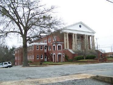
Caroleen is an unincorporated community and census-designated place (CDP) in Rutherford County, North Carolina, United States. Its population was 652 as of the 2010 census. Caroleen has a post office with ZIP code 28019. U.S. Route 221 Alternate passes through the community.
Map of Caroleen, NC 28040, USA
References
Caroleen, North Carolina Wikipedia(Text) CC BY-SA
