
Country Serbia Elevation 71 m (233 ft) Postal code 23314 Area 29 km² Population 2,811 (2011) | Time zone CET (UTC+1) Area code(s) +381(0)23 Local time Saturday 2:26 AM | |
 | ||
Weather 8°C, Wind N at 23 km/h, 69% Humidity | ||
Rusko Selo (Serbian Cyrillic: Руско Село; Hungarian: Torontáloroszi) is a village in northeastern Serbia, located within the Kikinda municipality, North Banat District, Vojvodina.
Contents
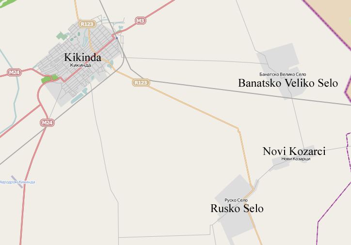
Map of Rusko Selo, Serbia
Name
In Serbian the village is known as Rusko Selo (Руско Село), meaning "Russian Village". In German it is known as Ruskodorf, and in Hungarian as Kisorosz or Torontáloroszi.
History
In the Middle Ages, the settlement was known as Oroszi. During Ottoman times, it was populated by Serbs. In 1718, it was incorporated into the Habsburg province of Banat of Temeswar, at which time it was known in Serbian as Mali Orosin. In 1723–25, the place was uninhabited. It was repopulated in 1767 by German colonists, while Hungarian colonists were settled in the village in 1776. In the 19th century, Romanians settled in the village as well. After World War I, a new settlement known as Kolonija or Čarnojevićevo was built near the old village. After World War II, Serb refugees from Bosnia settled in the village.
Culture
Demographics
The village has a Serb ethnic majority and a population of 2,811 (2011 census).
In 2002 village had population of 3,328 and ethnic groups in the village were: Serbs (1,880) or 56.49%, Hungarians (1,181) or 35.48%, Yugoslavs (55), Roma (48), Montenegrins (43), Croats (18), Ukrainians (12), etc.