
Population 6,185 (2011 Census) Postcode district IP4 Local time Saturday 12:55 AM Dialling code 01473 | Sovereign state United Kingdom | |
 | ||
Weather 6°C, Wind NE at 16 km/h, 86% Humidity | ||
Project beech tree removal rushmere st andrew 4 august 2015
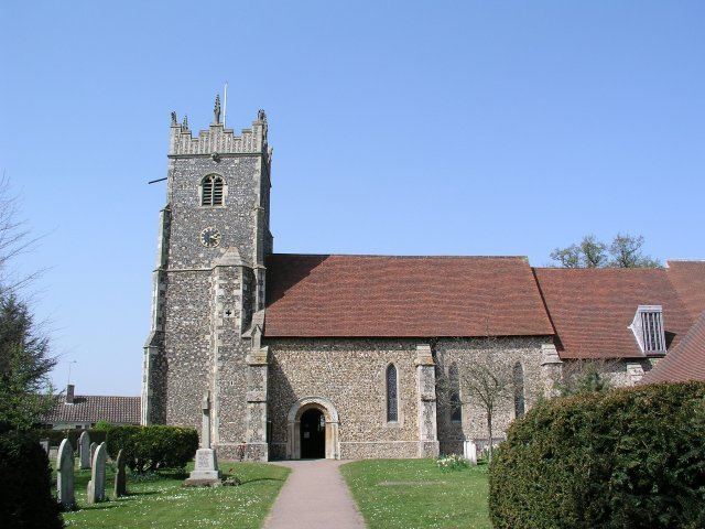
Rushmere St. Andrew is a village, civil parish and electoral ward adjacent to part of the eastern edge of the borough of Ipswich in the Suffolk Coastal district of Suffolk, England. The parish includes most of Rushmere Heath and parts of the Ipswich suburb of Broke Hall as well as the village of Rushmere St. Andrew, from which it draws its name.
Contents
- Project beech tree removal rushmere st andrew 4 august 2015
- Map of Rushmere St Andrew UK
- Rushmere Common
- Sport
- References
Map of Rushmere St. Andrew, UK
Rushmere Common
Rushmere Common, also known locally as Rushmere Heath, is a large area of common land which dominates much of the south-east of the parish. Home to the Rushmere Golf Club and bordered by Playford Road, Camberley Road, Tasmania Road, the Broke Hall Estate and Kesgrave, the common is an area enjoyed by walkers and cyclists alike, who take advantage of its wide open spaces and footpaths – including the Sandlings Walk, which starts on the common and ends in Southwold 60 miles away on the north Suffolk coast.
Sport
The village is home to a number of sports clubs and associations and was for many years a base for a number of the sports and social clubs of local businesses, such as Willis Faber (now Rushmere Sports Club) and Crane Fluid Systems Sports and Social Club (now part of the Ipswich Town F.C. training and academy complex). Ipswich Rugby Club and Ipswich YM Rugby Club are also in the parish, along with Ipswich Wanderers Football Club.