
Population 15,962 (2011) Region East Midlands Sovereign state United Kingdom Dialling code 0116 Post town Leicester | Unitary authority Country England Postcode district LE4 Ceremonial county Leicestershire UK parliament constituency Leicester East | |
 | ||
Rushey mead textiles altering stitch settings
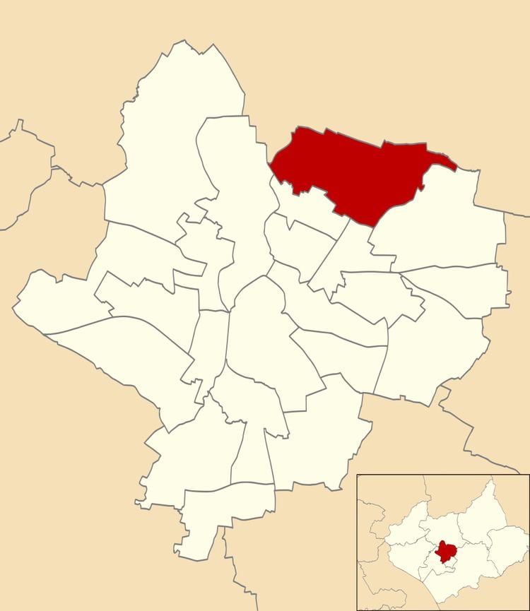
Rushey Mead is an electoral ward and administrative division of the city of Leicester, England. The population of the ward at the 2011 census was 15,962. It comprises the northern Leicester suburb of Rushey Mead in its entirety, as well as historical parts of Northfields and Thurmaston.
Contents
- Rushey mead textiles altering stitch settings
- Rushey mead academy plans deeply worrying says city mayor
- Geography
- History
- Demographics
- Education
- References
Rushey mead academy plans deeply worrying says city mayor
Geography
Rushey Mead is bounded by the wards of Humberstone & Hamilton to the south-east, Charnwood to the sout0pp, Belgrave to the south-west and Abbey to the west. North of Rushey Mead are the Leicestershire villages of Birstall and Thurmaston in the borough of Charnwood.
History
Rushey Mead was originally a part of the Thurmaston civil parish during the 19th century. The modern day suburb was split from Thurmaston and gazetted as a "Thurmaston Urban District" in 1894, before being annexed to the City of Leicester in 1935, when it was renamed Rushey Mead.
Demographics
Like neighbouring suburb Belgrave, Rushey Mead is home to a large Asian immigrant population, and had a 63% Indian ethnic majority during the 2001 census.
Education
The suburb contains four primary schools, Wyvern Primary School, Herrick primary school, Sandfield Primary School and Rushey Mead Primary School, and two comprehensives - Rushey Mead Academy (secondary) and Soar Valley College.