
 | ||
Ruset Peak (Bulgarian: връх Русет, ‘Vrah Ruset’ \'vr&h 'ru-set) is the peak rising to 1600 m in the southeast part of Petvar Heights, southeast Sentinel Range in Ellsworth Mountains, Antarctica, and overlooking Carey Glacier to the west, Divdyadovo Glacier to the north, and Rutford Ice Stream to the east.
Contents
Map of Ruset Peak, Antarctica
The peak is named after the Bulgarian cartographer Aleksandar Ruset (1810–1861).
Location
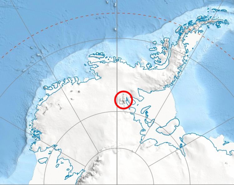
Ruset Peak is located at 78°47′56″S 84°01′10″W, which is 8.6 km east of Miller Peak, 8.1 km south of Long Peak and 2.52 km north of Malkoch Peak. US mapping in 1961, updated in 1988.
Maps
References
Ruset Peak Wikipedia(Text) CC BY-SA