
Country Canada Population 526 (2001) | Area 834.8 km² Province Saskatchewan | |
 | ||
Wolverine No. 340 is a rural municipality in central Saskatchewan, Canada east of Saskatoon. Wolverine No. 340 started out with the name Plasterfield from December 13, 1909 until March 31, 1910 when the name changed to Wolverine No. 340.
Contents
- Map of Wolverine No 340 SK Canada
- Statistics
- Communities
- Saskatchewan railways and railway stations
- Saskatchewan highways and roads
- References
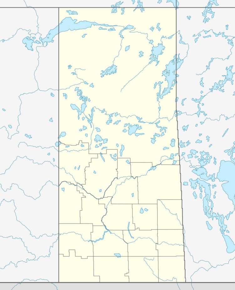
Map of Wolverine No. 340, SK, Canada
Statistics
According to the Canada 2001 Census:
Communities
Saskatchewan railways and railway stations
(historic or current)
Saskatchewan highways and roads
For more information see also List of Saskatchewan provincial highways For more information see also List of Saskatchewan provincial roadsReferences
Rural Municipality of Wolverine No. 340 Wikipedia(Text) CC BY-SA