
Country Canada Population 1,723 (2001) | Area 5,179 km² Province Saskatchewan | |
 | ||
Torch River No. 488, Saskatchewan, formed January 1, 1950, is a rural municipality in north eastern Saskatchewan. It is located northwest of the town of Nipawin. Within the geographical borders of the rural municipality lie the separately governed communities of Choiceland, Love, Smeaton, and White Fox, none of which is considered to be technically a part of the R.M.
Contents
- Map of Torch River No 488 SK Canada
- Communities
- Statistics
- Saskatchewan highways and roads
- Saskatchewan Rural Municipalities Neighborhood 1918
- References
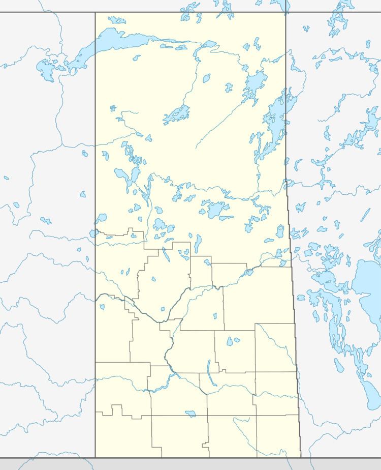
Map of Torch River No. 488, SK, Canada
Communities
Torch River No. 488 is home to the urban municipalities of: Carroll Cove, Cherry Ridge, Choiceland, Claytonville, Garrick, Love, Pruden's Point, Shipman, Smeaton, Snowden, Torch River, and White Fox.
Statistics
According to the Canada 2001 Census, the municipality had a population of 1,723 (down 5.7% since 1996) with 766 dwellings. It has an area of 5,179 km², giving it a population density of 0.3 persons per km².