
Country Canada Population 1,429 (2001) | Area 2,479 km² Province Saskatchewan | |
 | ||
The Rural Municipality of Spiritwood No. 496, Saskatchewan, first formed as Rural Municipality on December 9, 1929 as a 3 township by 3 township R.M. One township is 6 miles by 6 miles square. On December 31, 1953, Spiritwood No. 496 expanded and absorbed Shell Lake No. 495 It is located in the north central region of the province of Saskatchewan, west of Prince Albert. Witchekan Lake First Nation Indian Reserve 117B and Pelican Lake First Nation Indian Reserve 191B both are within this Rural Municipality.
Contents
- Map of Spiritwood No 496 SK Canada
- Boundaries
- Communities
- Population
- Statistics
- Urban communities
- Saskatchewan railways and railway stations
- Saskatchewan highways and roads
- References
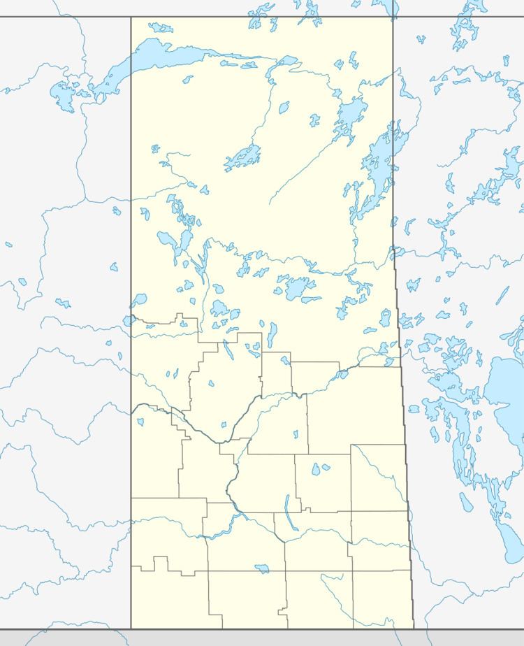
Map of Spiritwood No. 496, SK, Canada
Boundaries
The boundaries of the municipality extend north to Big River No. 555, Saskatchewan, to the west by Medstead No. 497, Saskatchewan, to the south by Meeting Lake No. 466, Saskatchewan, to the east by Canwood No. 494, Saskatchewan (was Thompson).
Communities
These communities are self-governing entities that lie within the geographical borders of Spiritwood No. 496, and thus not technically a part of the rural municipality. Also within its borders are several First Nations Indian reserves, those at Chitek Lake, Pelican Lake, and Witchekan Lake, also not part of the municipality.
Population
As of the census in 2001, there were 1,429 people living in the municipality of Spiritwood No. 496, Saskatchewan.
Statistics
According to the Canada 2001 Census:
Urban communities
have also been part of this municipality.
Saskatchewan railways and railway stations
(historic or current)