
Country Canada Census division 4 Local time Friday 4:56 PM Province Saskatchewan | Region Southwest Saskatchewan Time zone UTC (UTC-6) Population 462 (2006) Area code 306 | |
 | ||
Highways Highway 13
Highway 18
Highway 21
Highway 615 Waterways Cypress Lake
Battle Creek
Middle Creek
Lodge Creek Weather 13°C, Wind S at 23 km/h, 30% Humidity | ||
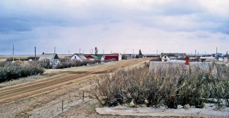
Reno No. 51 is a rural municipality in the Canadian province of Saskatchewan, located in the Census Division 4, just north of the USA border, and east of the Alberta border, in the southwestern corner of the province. The seat of the municipality is located in the village of Consul. The RM borders the RMs of Maple Creek No. 111, White Valley No. 49, and Frontier No. 19, as well as Cypress County in southeastern Alberta, and Hill County and Blaine County in Montana.
Contents
Map of Reno No. 51, SK, Canada
Demographics
In 2006, the Rural municipality had a population of 462 in 235 dwellings, a 1.1% increase from 2001. On a surface of 3,460.66 km² it has a density of 0.1 inhabitants/km².
Communities
The following communities are located in this municipality:
Transportation
The following is a list of Saskatchewan highways and provincial roads, railways, and other forms of transportation that service the area.
Attractions
Local Attractions;
Regional Attractions;