
Country Canada Population 290 (2006) | Area 806.5 km² Province Saskatchewan | |
 | ||
The rural municipality of Oakdale No. 320, Saskatchewan was established on December 11, 1911. It is located in west-central Saskatchewan, Canada near the Alberta - Saskatchewan border. Oakdale No. 320, Saskatchewan operates from Box 249, Coleville, SK S0L 0K0.
Contents
- Map of Oakdale No 320 SK Canada
- Statistics
- Current
- Former
- Amalgamated school divisions
- Single Room Schoolhouse school districts
- Saskatchewan railways and railway stations
- Saskatchewan highways and roads
- References
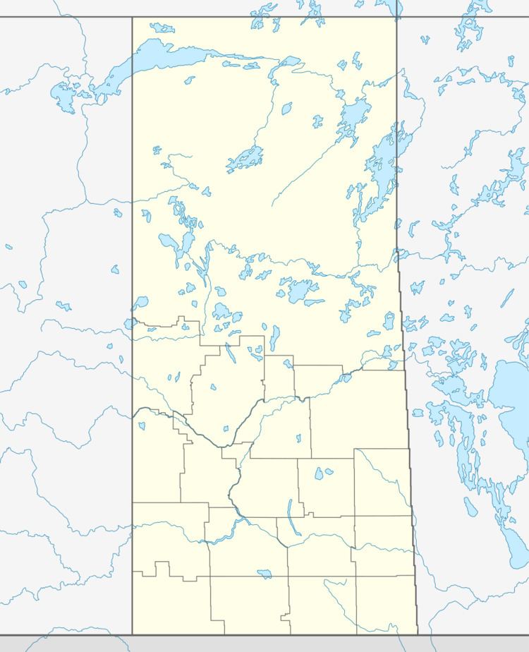
Map of Oakdale No. 320, SK, Canada
Statistics
According to the Canada 2006 Census:
Current
This community lies within the geographical borders of Oakdale No. 320, but is technically not part of the R.M.
Former
Current
Amalgamated school divisions
'Single Room Schoolhouse' school districts
Saskatchewan railways and railway stations
(historic or current)
Saskatchewan highways and roads
For more information see also List of Saskatchewan provincial highwaysReferences
Rural Municipality of Oakdale No. 320 Wikipedia(Text) CC BY-SA