
Country Canada Census division 3 Local time Friday 4:44 PM Province Saskatchewan Number of airports 1 | Region Southwest Saskatchewan Time zone UTC (UTC-6) Population 382 (2006) Area code 306 | |
 | ||
Highways Highway 18
Highway 19
Highway 611 Points of interest Grasslands National Park Weather 14°C, Wind S at 29 km/h, 31% Humidity | ||
Mankota No. 45 is a rural municipality in the Canadian province of Saskatchewan, located in the Census Division 3, in the southwestern corner of the province. The seat of the municipality is located in the village of Mankota. The southern border of the RM is the United States border, mostly with Valley County, but with a very short section at its southwest corner also with Phillips County, both in Montana.
Contents
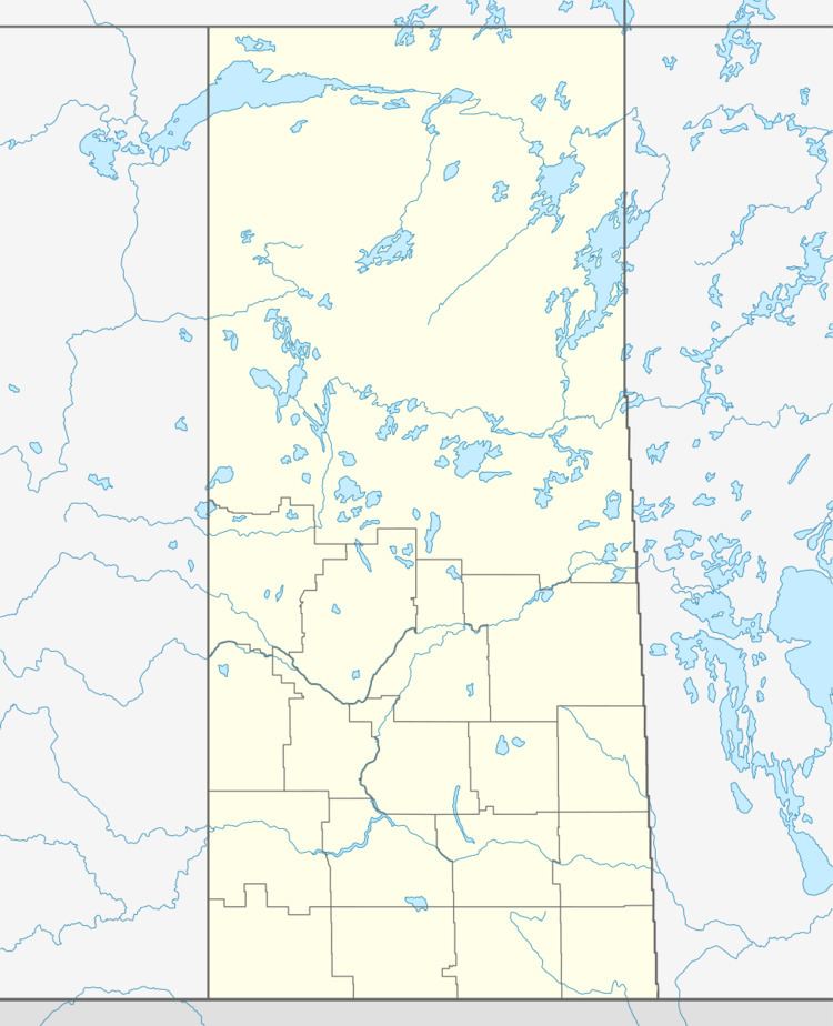
Map of Mankota No. 45, SK, Canada
Demographics
In 2006, the Rural municipality had a population of 382 in 173 dwellings, a -11.2% decrease from 2001. On a surface of 1,696.22 km² it has a density of 0.2 inhabitants/km².
Communities
The following communities are located in this municipality:
Villages
Hamlets
Transportation
The following is a list of Saskatchewan highways and provincial roads, that passes through the municipality of Mankota.