
Country Canada Census division 12 Population 609 (2006) Province Saskatchewan | Region Southwest Saskatchewan Time zone UTC (UTC-6) Local time Friday 4:23 PM Area code 306 | |
 | ||
Highways Highway 15
Highway 44
Highway 45 Waterways Anerley Lakes
Coteu Lake
Macdonald Creek
Milden Lake
South Saskatchewan
Stockwell Lake Weather 9°C, Wind SE at 27 km/h, 56% Humidity | ||
Fertile Valley No. 285 is a rural municipality in the Canadian province of Saskatchewan, located in the Census Division 12, in the southwestern region of the province. The seat of the municipality is located in the village of Conquest.
Contents
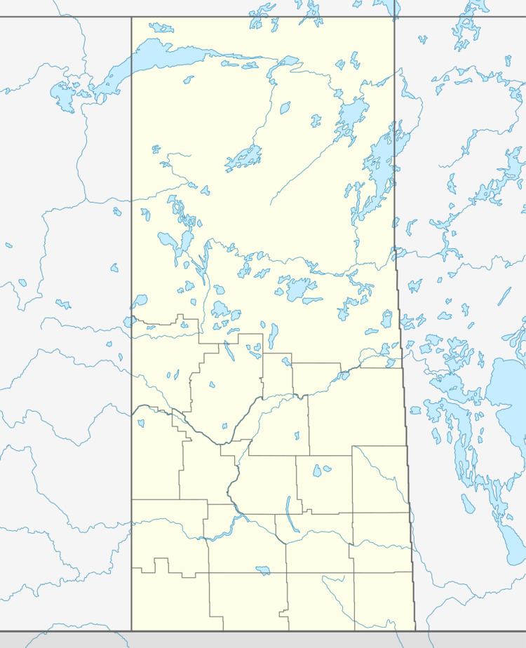
Map of Fertile Valley No. 285, SK, Canada
Demographics
In 2006, the Rural municipality had a population of 609 in 206 dwellings, a 1.2% increase from 2001. On a surface of 1,016.37 km² it has a density of 0.6 inhabitants/km².
Communities
The following communities are located in this municipality:
Villages
Hamlets
Transportation
The following is a list of Saskatchewan highways and provincial roads, and communities that the highways pass through, within the municipality of Fertile Valley.
References
Rural Municipality of Fertile Valley No. 285 Wikipedia(Text) CC BY-SA