
Country Canada Area 800.9 km² Local time Friday 4:20 PM Area code 306 | Time zone CST (UTC-6) Population 1,184 (2006) Province Saskatchewan | |
 | ||
Weather 7°C, Wind E at 29 km/h, 56% Humidity | ||
Dundurn No. 314 is a rural municipality in north-central Saskatchewan on the South Saskatchewan River. RM Dundurn is an administrative division for the rural area around the town of Dundurn. It is located in Census Division No. 11 for enumeration purposes. Saskatoon—Biggar is the economic district for the region, and the residents of the Rural municipality are represented in this federal riding by their member of parliament. The Member of the legislative assembly represents the Arm River-Watrous provincial constituency.
Contents
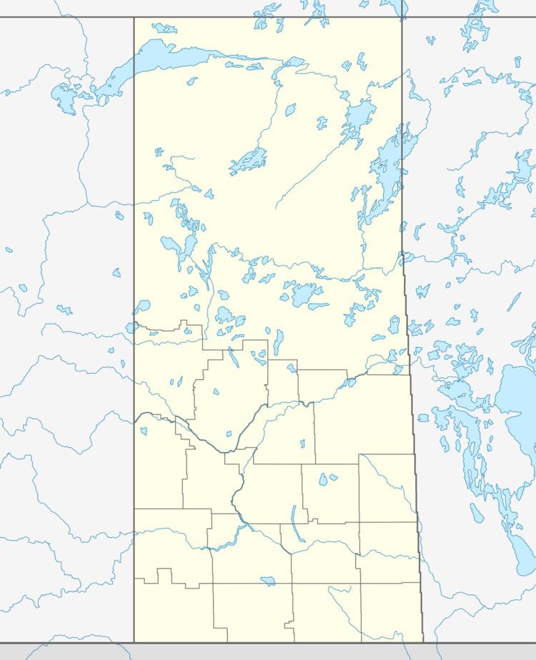
Map of Dundurn No. 314, SK, Canada
Communities
In this rural municipality, localities are enumerated as a part of the RM and their administration and towns have their own mayor and administrative body.
References
Rural Municipality of Dundurn No. 314 Wikipedia(Text) CC BY-SA