
Country Canada Time zone UTC (UTC-6) Population 679 (2006) | Rural Municipality January 1, 1913 Area 959 km² Province Saskatchewan | |
 | ||
This article is about the rural municipality in Canada. For other places with the same name, see Churchbridge
Contents
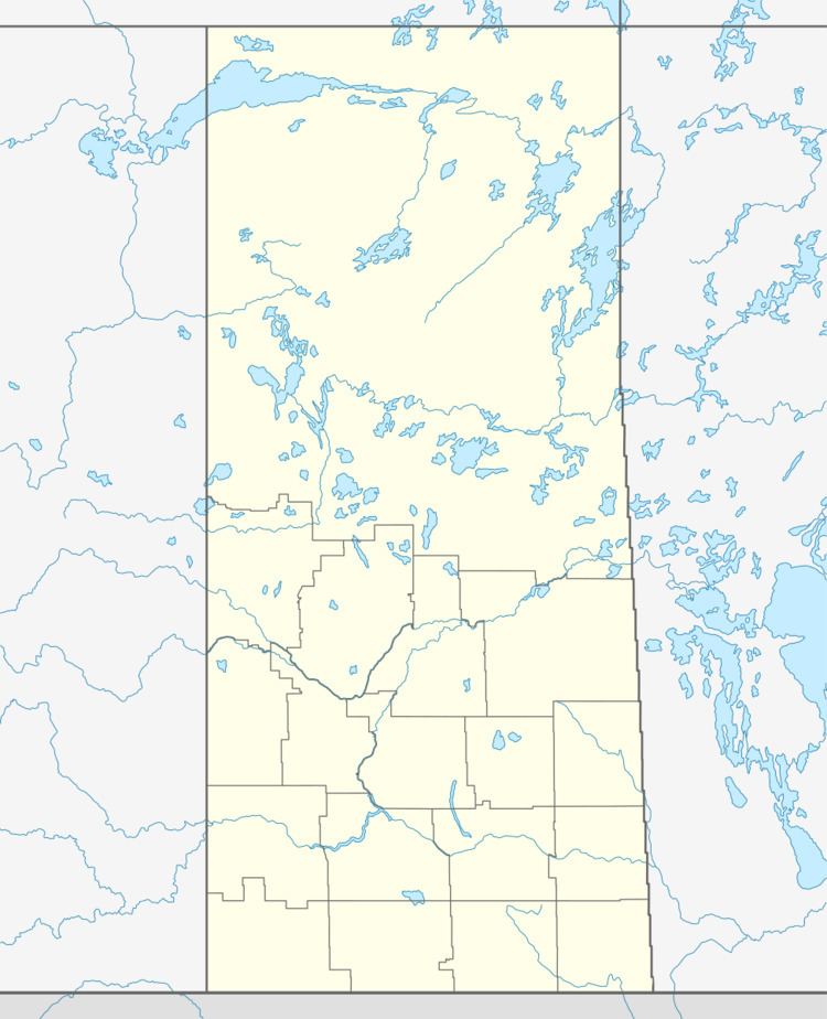
Map of Churchbridge No. 211, SK, Canada
Churchbridge No. 211, Saskatchewan, is a rural municipality of 679 rural residents (2006 census) in the east centralpart of Saskatchewan, Canada. The RM was incorporated January 1, 1913. Other localities in the area include MacNutt, Beresina, Langenburg and Churchbridge.
A rural municipality is an administrative district consisting of an elected reeve, councilors, administrator who provide essential services within their area.
Area statistics
References
Rural Municipality of Churchbridge No. 211 Wikipedia(Text) CC BY-SA