
Country Canada Population 151 (2006) | Established December 11, 1911 Province Saskatchewan | |
 | ||
Antelope Park No. 322 (2006 Population 151) is a rural municipality in the Canadian province of Saskatchewan, located in the Census Division 13. The municipality was established on December 11, 1911 in west-central Saskatchewan, Canada on the Alberta - Saskatchewan border. Antelope Park No. 322 operates from Box 70 Marengo, Saskatchewan S0L 2K0.
Contents
- Map of Antelope Park No 322 SK Canada
- Demographics
- Communities
- Transportation
- Railways and railway stations
- Highways and roads
- Attractions
- References
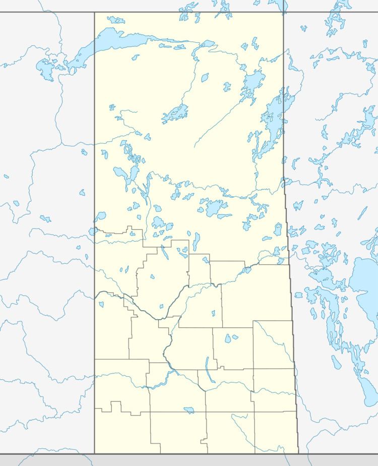
Map of Antelope Park No. 322, SK, Canada
Demographics
In 2006, the Antelope Park No. 322 had a population of 151 in 87 dwellings, a -14.7% decrease from 2001. On a surface of 612.66 km² it has a density of 0.2 inhabitants/km².
Communities
The following communities are located in this municipality:
Hamlets
Transportation
Listed below are road, railways etc. which service the municipality of Antelope Park.
Railways and railway stations
(historic or current)
Highways and roads
For more information see also List of Saskatchewan provincial highwaysAttractions
References
Rural Municipality of Antelope Park No. 322 Wikipedia(Text) CC BY-SA