
Area 769.6 km² | ||
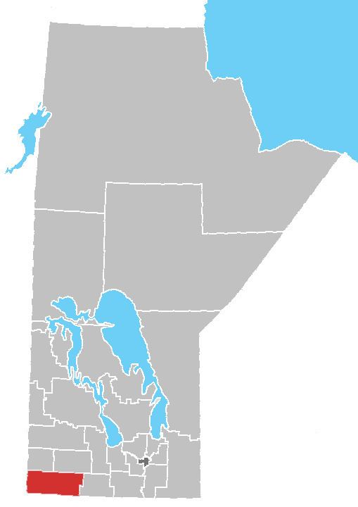 | ||
The Rural Municipality of Albert is a former rural municipality (RM) in the Canadian province of Manitoba. It was originally incorporated as a rural municipality on December 1, 1905. It ceased on January 1, 2015 as a result of its provincially mandated amalgamation with the RM of Arthur and the RM of Edward to form the Municipality of Two Borders.
Contents
Map of Albert, MB, Canada
It had a population of 339 in the 2006 census and was located in the Westman Region of the province.
This primarily agricultural municipality was formed in 1905 by a subdivision of the Rural Municipality of Arthur. The new entity was named after Albert Edward, Prince of Wales (later King Edward VII).
The population in recent years has been dropping; by 11.3% from 2001 to 2006. It has a land area of 769.55 square kilometres. The rural municipality ranks 3,544th in terms of population in Canada. It is located directly east of the border of Saskatchewan.