
A.O.P. (Area Post Office) 32604 Local time Saturday 2:53 AM Area code 079 | Time zone Nepal Time (UTC+5:45) Literacy 90.2% Population 3,521 (1991) | |
 | ||
Weather 18°C, Wind N at 3 km/h, 80% Humidity | ||
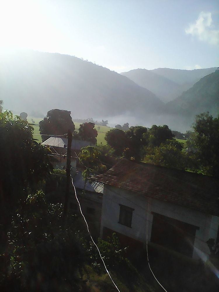
Rupakot is a Village Development Committee (VDC) in Gulmi District in the Lumbini Zone of central Nepal. Its headquarters is in Myal pokhara. It is located in about the center of Gulmi District. It is surrounded by hills. Its main religion is Hinduism. There are many temples like Chhatra Thaan, Shiddababa temple, Shiva Temple, Ram Temple etc. The main sources of revenue for the village are agriculture and foreign employment. At the time of the 2001 Nepal census, it had a population of 3521 persons residing in 704 individual households. 76.48% of students attend school. The most populated parts of this VDC is Damuka & Ekle Pipal.
Map of Rupakot 32600, Nepal
References
Rupakot Gulmi Wikipedia(Text) CC BY-SA