
Quadrant NW Sector Mature area Elevation 654 m | Ward 7 Area 82 ha Population 3,359 (2012) | |
 | ||
Restaurants Sit'n Go, Kentucky Fried Chicken, Boston Pizza, Together We Can, KFC | ||
Rundle Heights is a residential neighbourhood overlooking the North Saskatchewan River valley in the City of Edmonton, Alberta, Canada, named for Methodist missionary Robert Terrill Rundle. While the neighbourhood didn't develop until the 1960s and 1970s, the area is closely associated with the Town of Beverly, a working class community that amalgamated with Edmonton in 1961. A number of the Beverly coal mines were located in the area.
Contents
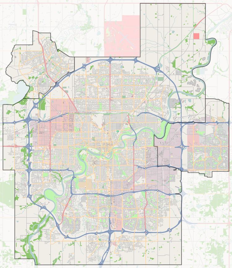
Map of Rundle Heights, Edmonton, AB, Canada
Demographics
In the City of Edmonton's 2012 municipal census, Rundle Heights had a population of 7003335900000000000♠3,359 living in 7003142600000000000♠1,426 dwellings, a -1.4% change from its 2009 population of 7003340500000000000♠3,405. With a land area of 0.82 km2 (0.32 sq mi), it had a population density of 7003409630000000000♠4,096.3 people/km2 in 2012.
Residential development
Shortly after arriving in Canada in 1927, a Dutch immigrant named Jacob Prins bought a farm east of Beverly in the area that is now Rundle Heights, and which included one of the larger coal mines in the Edmonton Area. The farm would grow to 400 acres (1.6 km2).
In the 1950s, the Prins family tried strip mining coal near the river on the eastern side of the property. The venture proved unsuccessful. In 1956, the City of Edmonton bought the site of the strip mine and used it for the Beverly Dump, a place to dispose of the city's refuse and garbage.
The Prin's farm ceased production in 1966, and most of the land was subdivided for the Rundle Heights neighbourhood.
With the neighbourhood encroaching on the Beverly Dump, and the dump reaching the end of its useful life, the city reclaimed the dump site for parkland. Today, Rundle Park and the Rundle Golf Course occupy the area once known as the Beverly Dump.
The stretch of 32nd street that runs in the northern part of the neighborhood contains numerous public housing developments. The 3-2 Bloods are a set of the Bloods gang that operate in the area. However, this area is a small portion of the neighborhood at large.
The neighbourhood is bounded on the north by 118 Avenue, to the west by 34 Street (north of 111 Avenue) and 36 Street (south of 111 Avenue) and by the river valley to the south and east. Surrounding neighbourhoods are Abbottsfield to the north, Beacon Heights to the north west, and Beverly Heights to the west.
There are two schools in Rundle Heights. The Rundle Heights Elementary School is operated by the Edmonton Public School System and St. Jerome Catholic Elementary School is operated by the Edmonton Catholic School System.
Mining
The Town of Beverly was a coal mining town with over twenty mines operating in the area during the town's history. The following major mines were active in the area of Rundle Heights.