
Quadrant NW Sector Mature area Elevation 656 m Population 1,888 (2012) | Ward 7 Area 41 ha | |
 | ||
Abbottsfield is a neighbourhood in east Edmonton, Alberta, Canada overlooking the North Saskatchewan River valley. The neighbourhood is named for Abraham Abbott, a resident of the Town of Beverly and long time school custodian in the Beverly School District. While development of Abbottsfield didn't begin until nearly a decade after the amalgamation of Beverly with Edmonton in 1961, the neighbourhood is located in an area closely associated with Beverly. Beverly was a coal mining town, and one of the major Beverly coal mines was located in the Abbottsfield area.
Contents
- Map of Abbottsfield Edmonton AB Canada
- Demographics
- Residential development
- Shopping and services
- Mining
- References
Map of Abbottsfield, Edmonton, AB, Canada
Abbottsfield is bounded by the North Saskatchewan River valley on the east, 118 Avenue on the south, 34 Street on the west, and the Yellowhead Trail corridor on the north. Victoria Drive forms the boundary between the neighbourhood and river valley proper. Rundle Park is located in the river valley below Abbottsfield and the neighbourhood of Rundle Heights located immediately to the south.
Demographics
In the City of Edmonton's 2012 municipal census, Abbottsfield had a population of 7003188800000000000♠1,888 living in 7002735000000000000♠735 dwellings, a 4% change from its 2009 population of 7003181500000000000♠1,815. With a land area of 0.41 km2 (0.16 sq mi), it had a population density of 7003460490000099999♠4,604.9 people/km2 in 2012.
Residential development
As of 2012, the majority of dwellings are row houses (7001653000000000000♠65.3%), followed by apartments in low-rise apartment buildings (7001344000000000000♠34.4%). Approximately 7001710000000000000♠71% of residences are rented. In 2001, approximately 7001590000000000000♠59% of residential dwellings in the neighbourhood were built during the 1970s.
Shopping and services
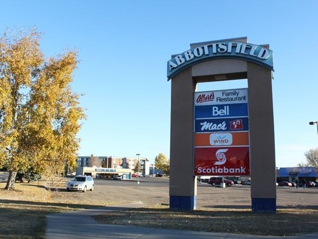
Abbottsfield Mall, a shopping centre, is located on the west edge of the neighbourhood on 118 Avenue, and is also the location of the Abbottsfield Transit Centre.
Mining
The Town of Beverly was a coal mining town with over twenty mines operating in the area during the town's history. The following major mine was active in the area of Abbottsfield.