
Country Belgium Area codes 03, 015 Postal code 2840 | Postal codes 2840 Website www.rumst.be Local time Friday 6:43 PM Arrondissement Arrondissement of Antwerp | |
 | ||
Weather 13°C, Wind NE at 18 km/h, 54% Humidity Governing parties Christen-Democratisch en Vlaams, Socialistische Partij Anders | ||
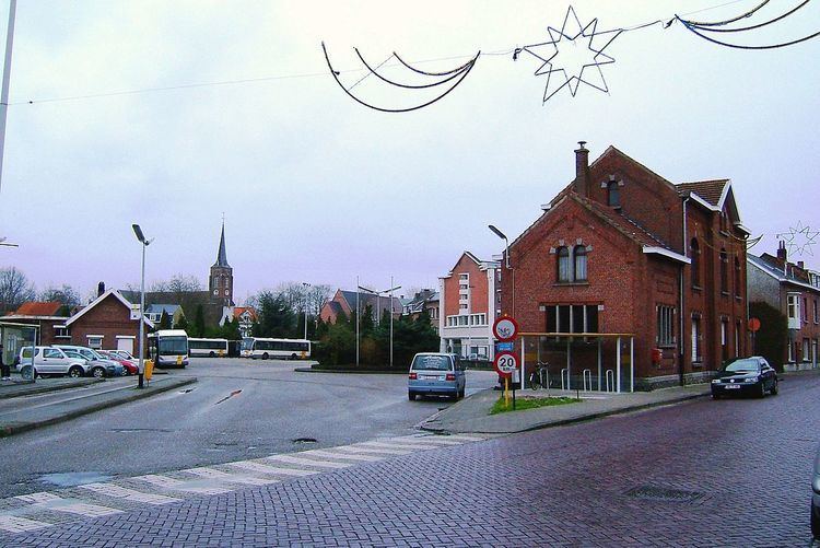
Rumst ( [rɵmst], old spelling: Rumpst) is a municipality located in the Belgian province of Antwerp. Since 1976 the municipality not only comprises Rumst proper but also the towns of Reet (old spelling: Reeth) and Terhagen, which were independent municipalities before that year.
Contents
Map of 2840 Rumst, Belgium
Industry in Rumst, like Boom, was heavily focused around the production of clay products like bricks. This industry has largely disappeared after 1970.
In Rumst, the river Rupel starts as a combination of the Dijle and Nete (river) rivers.
On January 1, 2006, Rumst had a total population of 14,628. The total area is 19.90 km² which gives a population density of 735 inhabitants per km².
References
Rumst Wikipedia(Text) CC BY-SA