
- average 13.3 m/s (470 cu ft/s) Discharge 13.3 m³/s | - elevation 730.2 m (2,396 ft) - elevation 0 m (0 ft) Length 44 km Basin area 270 km² Country Japan | |
 | ||
Mouth Sea of Japan (also known as East Sea) | ||
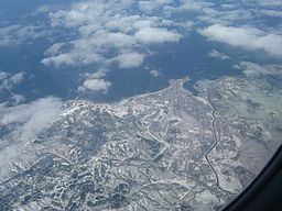
Rumoi River (留萌川, Rumoi-gawa) is a river in Hokkaidō, Japan. The Rumoi is 44 kilometres (27 mi) in length. It traces its source to Mount Poroshiri 731 metres (2,398 ft) in the Hidaka Mountain range, and flows across Rumoi Subprefecture in the west of Hokkaidō and empties into the Sea of Japan. The mouth of the Rumoi River is in the city of Rumoi.
Map of Rumoi River, Rumoi, Hokkaido Prefecture, Japan
References
Rumoi River Wikipedia(Text) CC BY-SA