
Country Iran Capital Chaqabol Time zone IRST (UTC+3:30) Population 38,701 (2011) | Province Lorestan Province Elevation
mean elevation 1,095 m (3,593 ft) Area 853 km² | |
 | ||
Bakhsh (Districts) List
Central District
Suri District | ||
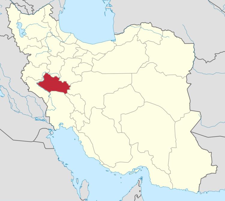
Rumeshkhan County (Persian: شهرستان رومشکان) is a county in southwestern Lorestan Province, Iran. At the 2011 census, its population was 38,701, in 7,423 families. The county has one town, Chaqabol, the administrative headquarters. The county is subdivided into two main districts: Central District and Suri District.
Contents
Map of Romeshgan, Lorest%C4%81n, Iran
Geography and climate
Rumeshkhan County lies between 32 degrees 15 minutes to 33 degrees 25 minutes north latitude, and between 47 degrees 20 minutes to 47 degrees 40 minutes east longitude. The county is mountainous with major northwest to southeast trending ranges. The lower plains are generally high desert steppe.
Rumeshkhan experiences a temperate and semi-dry climate with maximum temperatures in summer around 40 °C (104 °F). The minimum temperature in winter averages about −7 °C (19 °F). Average annual rainfall is 450 mm.
History
Archaeological evidence shows the influence of Roman style architecture, and the name of this region is a compound of the words Rum (Romans) and eshkan (break) and it is believed that this area is where Eastern Roman Empire was defeated.
The county was officially created in April 2013 from part of Kuhdasht County, and the first governor was appointed in February the following year.
Economy
The principle occupations in Rumeshkhan County are animal husbantry, and farming in the river valleys. Most of the crops are cereals, especially barley and wheat. In many of the villages and around Chaqabol, deep wells provide for irrigated agriculture and vegetable and melons are grown. These become a cash crop near Chaqabol and where transportation is available to other cities. In some areas orchards have been planted. In the 21st century, Rumeshkhan began to experience severe drought which has decreased agricultural production and impoverished some farmers.
In 2015 the government in cooperation with the private sector opened a steel mill.