
Country Serbia Population 5,729 (2002) | Time zone CET (UTC+1) Local time Friday 5:48 PM | |
 | ||
Weather 21°C, Wind NW at 13 km/h, 40% Humidity | ||
Serbian erske bagpipe erske gajde rumenka kolo
Rumenka (Serbian Cyrillic: Руменка) is a village located in the Novi Sad municipality, in the South Bačka District of Serbia. It is situated in the Autonomous Province of Vojvodina. The village has a Serb ethnic majority and a population of 5,729 people (2002 census).
Contents
- Serbian erske bagpipe erske gajde rumenka kolo
- Map of Rumenka Serbia
- Name
- History and culture
- Historical population
- Features
- References
Map of Rumenka, Serbia
Name
In Serbian, the village is known as Rumenka or Руменка, in Hungarian as Piros or Piross, and in Croatian as Rumenka.
The story about origin of the name of Rumenka claim that in the early years of existence of the village, the land contained many red flowers and when looked upon from a distance Rumenka looked like a red field. Therefore, it was named "Rumenka" in Serbian (the name came from the word "rumen", meaning "red" in Serbian) or "Piros" in Hungarian (word that also meaning "red").
History and culture
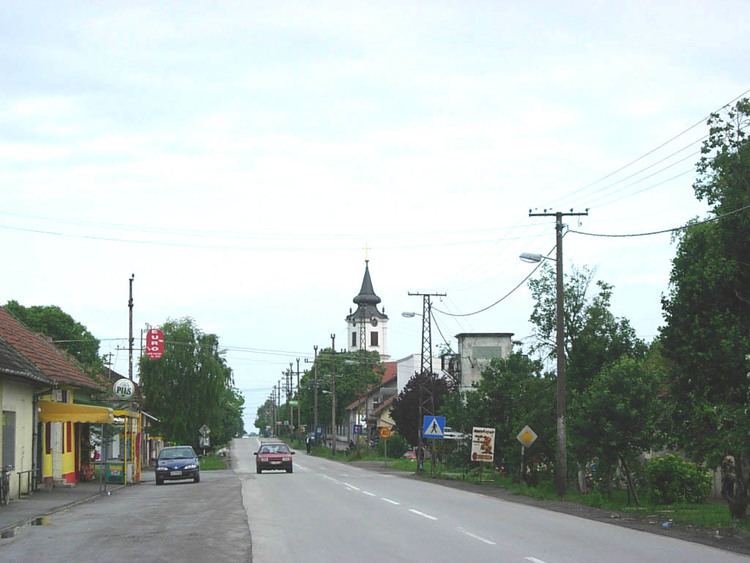
It was first mentioned in 1237. During the Ottoman rule, in 1590, the population of the village numbered 20 houses. In this time, Rumenka was populated by Serbs. There is a Serb Orthodox Church that was built after 1849 uprising, because the old one was destroyed, a Reformate Church was built in 1836( it is the third in the row) and a Parish house (built in 1780) in the village.
Historical population
Features
Rumenka is located near the Danube-Tisa-Danube channel. Although Rumenka is located near Novi Sad, the largest city in Vojvodina, the main branch of industry in the village is farming.