Time zone CET (UTC+1) Population 724 (1999) | Canton Marquion Area 5.51 km² Local time Friday 5:31 PM | |
 | ||
Intercommunality Communauté de communes de Marquion Weather 13°C, Wind NE at 21 km/h, 65% Humidity | ||
Rumaucourt is a commune in the Pas-de-Calais department in the Hauts-de-France region of France.
Contents
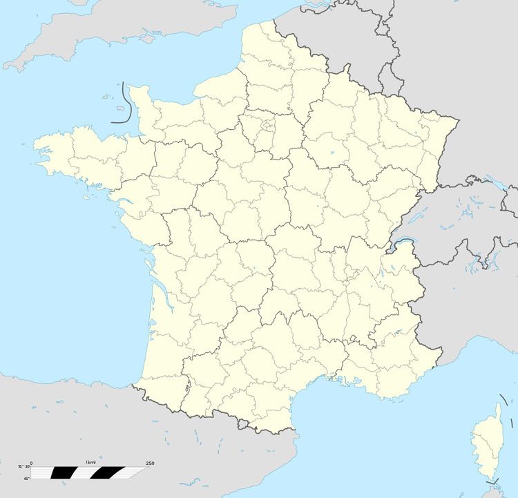
Map of 62860 Rumaucourt, France
Geography
Rumaucourt lies about 12 miles (19 km) southeast of Arras, on the D19 road.
Population
The inhabitants are called Rumaucourtois.
Places of interest
References
Rumaucourt Wikipedia(Text) CC BY-SA
