Postcode(s) 2583 Local time Saturday 12:10 AM | Postal code 2583 | |
 | ||
Weather 15°C, Wind E at 16 km/h, 83% Humidity | ||
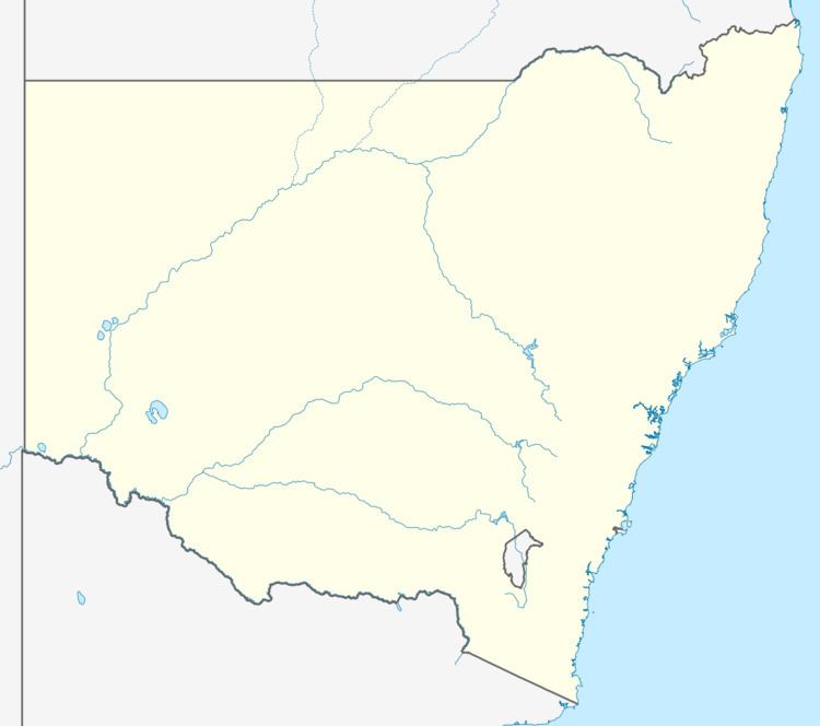
Rugby is a town in the Southern Tablelands region of New South Wales, Australia. The town is in the Hilltops Council local government area, 292 kilometres (181 mi) south west of the state capital, Sydney and 146 kilometres (91 mi) north of the national capital, Canberra.
Map of Rugby NSW 2583, Australia
The town is set in an area of thick scrub and is known for raising merino sheep. While the general store and post office have closed, the school, established over 123 years ago, remains open.
References
Rugby, New South Wales Wikipedia(Text) CC BY-SA
