
Country Thailand Time zone THA (UTC+7) Geocode 9606 Province Narathiwat Province | Seat Rueso Ok Postal code 96180 Area 468.3 km² | |
 | ||
Rueso (Thai: รือเสาะ; Malay: Raso) is a district (amphoe) of Narathiwat Province, southern Thailand.
Contents
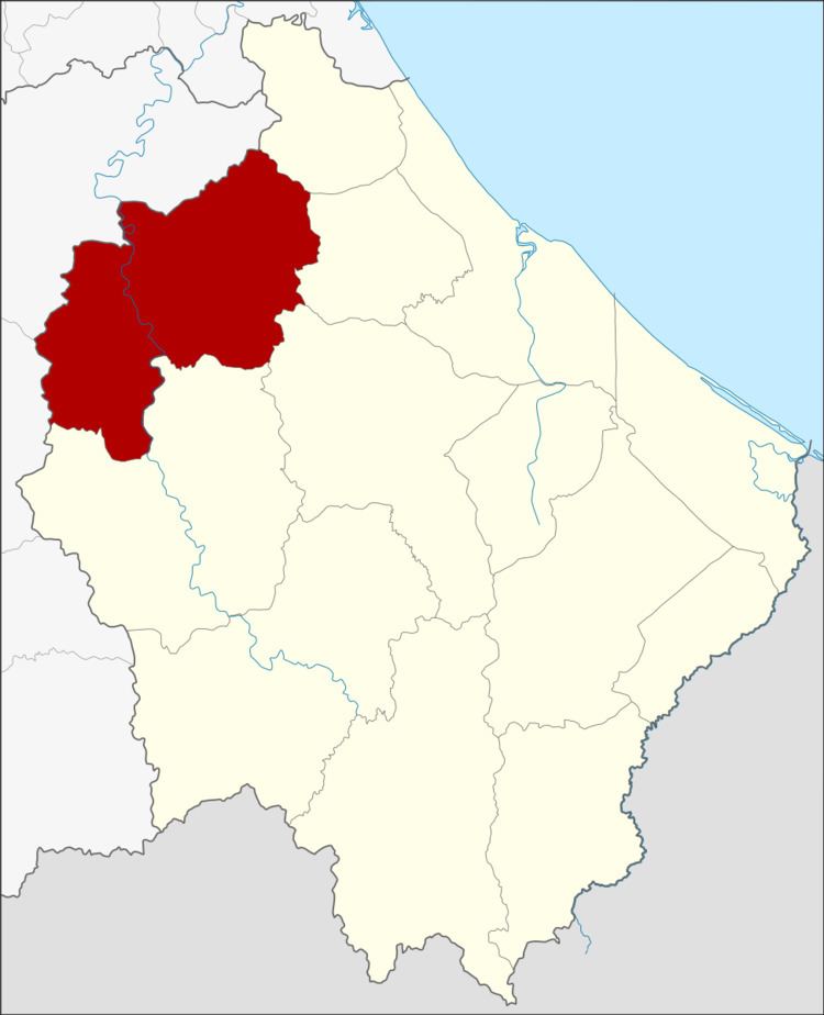
Map of Rueso District, Narathiwat, Thailand
Geography
Neighboring districts are (from the northeast clockwise) Bacho, Yi-ngo, Ra-ngae and Si Sakhon of Narathiwat Province, and Bannang Sata and Raman of Yala Province.
History
Originally the area of the district was tambon Tammangon (ตำมะหงัน) of Tonyongmon district, the present-day Rangae district. In 1913 it was upgraded to Tammangon minor district (King Amphoe), consisting of 6 tambon. 1917 it was renamed to Rueso. On October 1, 1939 the minor district was upgraded to a full district.
Administration
The district is subdivided into 9 subdistricts (tambon), which are further subdivided into 71 villages (muban). The township (thesaban tambon) Rueso covers parts of tambon Rueso and Rueso Ok. There are further 9 Tambon administrative organizations (TAO).