
Country United States County Wood Area 210 ha Population 458 (2010) Area code 419 | State Ohio Time zone Eastern (EST) (UTC-5) Zip code 43462 Local time Friday 4:46 AM | |
 | ||
Weather 7°C, Wind S at 18 km/h, 71% Humidity | ||
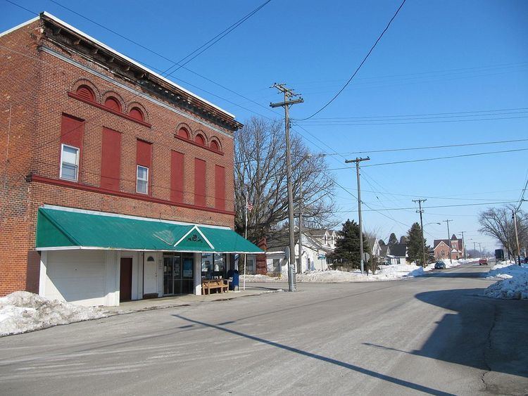
Rudolph is an unincorporated community and census-designated place (CDP) in eastern Liberty Township, Wood County, Ohio, United States. As of the 2010 census, it had a population of 458. Although it is unincorporated, it has a post office, with the ZIP code of 43462.
Contents
Map of Rudolph, OH 43462, USA
History
Rudolph was originally called Mercers, and under the latter was platted in 1890 and named for Daniel Mercer, proprietor. A post office called Rudolph has been in operation since 1891. The present name honors H. J. Rudolph, a town merchant.
The post office in Rudolph has been offering a special Christmas postmark since 1990. According to the Toledo Blade in 2014, "Charlotte Lamb, the officer in charge at the Rudolph post office... estimates between 75,000 and 100,000 parcels come through the office every year."
Geography
Rudolph is located at 41°17′52″N 83°40′11″W and is 6 miles (10 km) south of Bowling Green. According to the U.S. Census Bureau, the CDP has an area of 0.81 square miles (2.1 km2), all land.