
Gmina Narol Local time Friday 7:20 AM | Population 1,200 | |
 | ||
Weather 7°C, Wind W at 14 km/h, 93% Humidity | ||
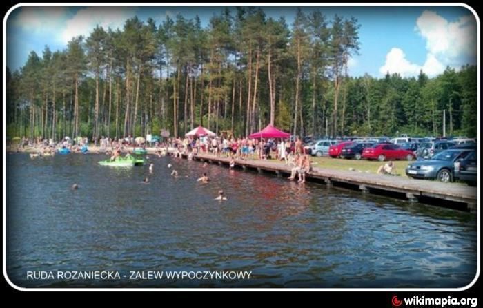
Ruda Różaniecka [ˈruda ruʐaˈɲet͡ska] (Ukrainian: Руда Рожанецька, Ruda Rozhanets’ka)is a village in the administrative district of Gmina Narol, within Lubaczów County, Subcarpathian Voivodeship, in south-eastern Poland. It lies approximately 11 kilometres (7 mi) west of Narol, 18 km (11 mi) north of Lubaczów, and 90 km (56 mi) east of the regional capital Rzeszów.
Map of Ruda R%C3%B3%C5%BCaniecka, Poland
The village has a population of 1,200.
References
Ruda Różaniecka Wikipedia(Text) CC BY-SA