
OS grid reference TR025335 Sovereign state United Kingdom Local time Friday 6:05 AM | Civil parish Ruckinge Area 13.91 km² Dialling code 01233 | |
 | ||
Population 711 (Civil Parish 2011) Weather 8°C, Wind NE at 27 km/h, 88% Humidity | ||
Ruckinge /rʌkɪndʒ/ is a village and civil parish in south Kent centred 5.5 miles (8.9 km) south of Ashford on the B2067 Hamstreet to Hythe road, with two settled neighbourhoods. It is, broadly defined, a narrow, fairly large rural parish of land which is about one quarter woodland.
Contents
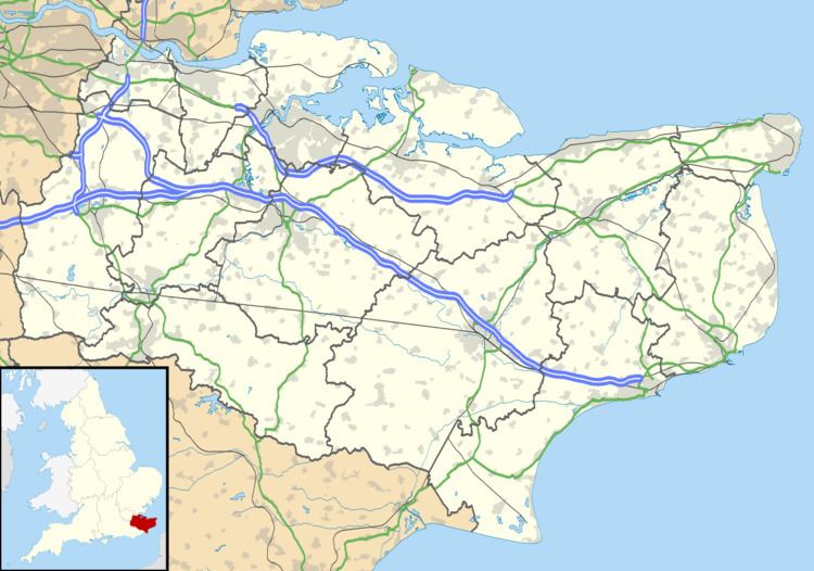
Map of Ruckinge, UK
Geography
Almost three miles long, this is a mostly rural area in south to south-east Kent centred 6 miles (9.7 km) south-by-southeast of Ashford on the B2067 Hamstreet to Hythe road, with two settled neighbourhoods. Ruckinge's main neighbourhood is a linear settlement with a few cul de sacs.
It is in the mid-south of a civil parish which also includes the scattered community of Bromley Green which has about half of the area's woodland. The two halves (Upper and Lower or North and South) are split by a belt of woodland but a road links them, with the other roads being two east-west and two to the north-east and north-west. A source of the fast-flowing, steep headwaters of the East Stour rises a mile west of the northern half of the parish in an area of Sandstone hills. In terms of vegetation patchy remains are preserved here of The Weald, the forest between the Greensand Ridge and the South Downs, and to the south of the Royal Military Canal the area has long been grassed, being just above marsh level since the Roman Britain period.
Amenities and voluntary organisations
The village has: a large pub, The Blue Anchor a church (to St Mary Magdalene) and Methodist chapel/church. The Royal Military Canal runs to the immediate south of the neighbourhood of Ruckinge in the parish.
The nearest shops and railway station are in nearby Hamstreet (in Orlestone).
Ruckinge has the HQs and groups of Scout and Guide associations for the neighbouring parishes.
History
In 1629, Henry Cuffin, a curate at Ruckinge, was prosecuted by an Archdeacon's Court for playing cricket on Sunday evening after prayers. He claimed that several of his fellow players were "persons of repute and fashion". This was an indication of cricket achieving popularity among the well-to-do, a trend which eventually created the sport's division between amateurs and professionals.
Ruckinge was an important sighting-point for the Anglo-French Survey (1784–1790), which calculated the precise distance between the Royal Greenwich Observatory and the Paris Observatory, using trigonometry. The main cross-channel sightings were between Dover Castle and Fairlight, East Sussex in England, and Cap Blanc Nez, Calais and Dunkirk in France. A grid of triangles was measured to reach these viewpoints, which included two base-lines on Hounslow Heath and Romney Marsh. Ruckinge was the north-western point of the Romney Marsh base-line; the south-eastern end was at High Nook near Dymchurch.
For a few centuries smuggling was rife on Romney Marsh, and it is rumoured that the notorious Ransley brothers were buried in Ruckinge churchyard after being hanged at Penenden Heath, Maidstone.
Until the early 1990s Ruckinge had a village shop/post office.
Transport
The area is quickly connected to Ashford: the relatively large A2070 road cuts over/under minor roads and passes through the north of this area.