
Country New Zealand Local time Friday 3:04 PM | Population 426 (2006) | |
 | ||
Weather 23°C, Wind W at 14 km/h, 73% Humidity Neighborhoods Tokatoka, Naumai, Raupo, Rehia | ||
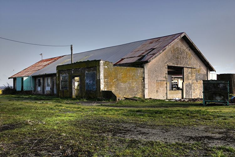
Ruawai is a small township located 30 km south of Dargaville in Northland, New Zealand. The population was 426 in the 2006 Census, a decrease of 30 from 2001.
Contents
Map of Ruawai, New Zealand
The name literally translated from Maori means 'two waters' referring to the nearby Northern Wairoa River and Kaipara Harbour. The township primarily serves the outlying farming area which consists mainly of cattle farming and kumara growing and the town declared itself as the Kumara capital of the world.
Notable People
Lockwood Smith, politician
Education
Ruawai College is a secondary (years 7-13) school with a roll of 171. Ruawai District High School was established in 1929. In December 1995, Ruawai College installed a 128kbit/s DDS leased line connection that delivered internet services and offered dialup internet with IGRIN billing the service (IGRIN has since purchased by Orcon). The arrangement delivered internet to the rural community where the nearest dialup internet services were a toll call away, as well as giving the school low cost internet. At the time, only a handful of schools nationally had a campus-wide, hard wired internet service.
Ruawai School is a contributing primary (years 1-6) school with a roll of 128.
Both schools are coeducational. The college has a decile rating of 4 and the primary has a decile of 3.