
Elevation 545 m | Postal code 798 61 to 798 62 Area 16.56 km² | |
 | ||
Website | ||
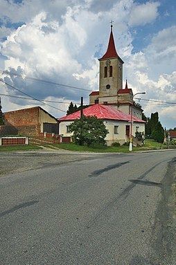
Rozstání is a village and municipality (obec) in Prostějov District in the Olomouc Region of the Czech Republic.
Map of Rozst%C3%A1n%C3%AD, Czechia
The municipality covers an area of 16.56 square kilometres (6.39 sq mi), and has a population of 662 (as at 28 August 2006).
Rozstání lies approximately 21 kilometres (13 mi) south-west of Prostějov, 37 km (23 mi) south-west of Olomouc, and 191 km (119 mi) south-east of Prague.
References
Rozstání (Prostějov District) Wikipedia(Text) CC BY-SA