
Time zone EET (UTC+2) Area 1,300 km² | Area code +380 | |
 | ||
Subdivisions List — city councils — settlement councils — rural councilsNumber of localities: — cities — urban-type settlements — villages — rural settlements Points of interest Velyka Syvulya Mountain, Grofa, Vysoka Mountain, Parenki | ||
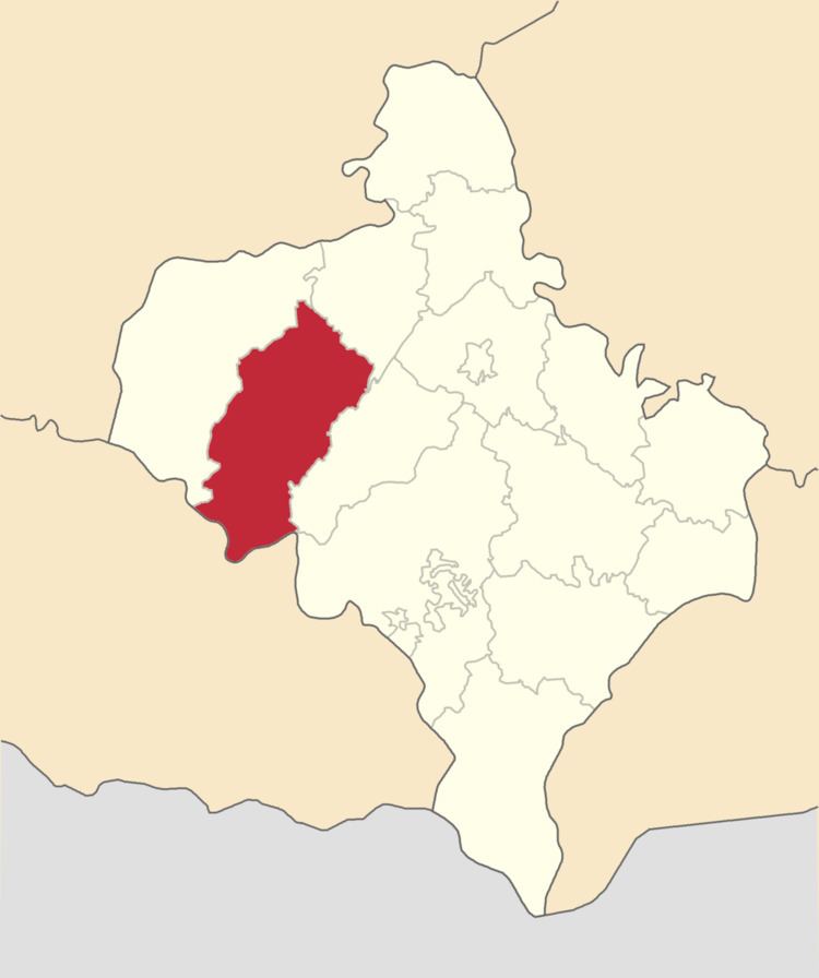
Rozhniativ Raion (Ukrainian: Рожнятівський район) (Polish: Rozniatow) is a raion (district) of Ivano-Frankivsk Oblast (region). The urban-type settlement of Rozhniativ is the administrative center of the raion. Population: 73,005 (2016 est.).
Contents
Map of Rozhnyativs'kyi district, Ivano-Frankivska, Ukraine
Settlements
The region does not have cities, however there are several towns.
References
Rozhniativ Raion Wikipedia(Text) CC BY-SA