
Population 7,919 (2011 census) Postcode(s) 2039 Local time Friday 11:23 AM | Established 1892 Area 1.9 km (0.7 sq mi) Postal code 2039 | |
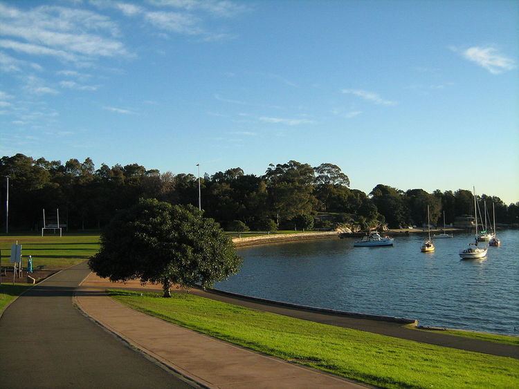 | ||
Weather 22°C, Wind S at 18 km/h, 77% Humidity Points of interest King George Park, Easton Park, Bridgewater Park, Tali Gallery, O'Connor Reserve | ||
Quarterly market report for rozelle lilyfield leichhardt
Rozelle is a suburb in the inner west of Sydney, in the state of New South Wales, Australia. It is located 4 kilometres west of the Sydney central business district, in the local government area of the Inner West Council.
Contents
- Quarterly market report for rozelle lilyfield leichhardt
- Map of Rozelle NSW 2039 Australia
- Location
- History
- Landmarks
- Schools and colleges
- Churches
- Pubs and bars
- References
Map of Rozelle NSW 2039, Australia
Location
Rozelle sits between the suburbs of Balmain to the north-east and Lilyfield to the south-west. Iron Cove is on the north-west border whilst Rozelle Bay, White Bay and Johnstons Bay make up the south-east border. These three bays surround the container port of Glebe Island which has been attached to the shoreline as part of the extensive reclamation of Rozelle Bay and White Bay which had begun in the 1890s.
History
By 1877 the population of Balmain West had increased and the Balmain post office was inadequate for their needs as a growing suburb. Residents petitioned for a post office of their own and in 1880 Balmain West post office was established in Joseph Gosling's grocery shop at the junction of Weston Road (now Victoria Road) and Withecombe Street. Over the next 10 years the population of Balmain West grew further and in 1891 work started on a new post office on the corner of Weston Road and Darling Street. "History of Our Suburb". Leichhardt Council. Retrieved May 16, 2016.
In December 1892, prior to the opening of the new post office, the Postmaster-General declared Rozelle (named after the nearby Rozelle Bay to the south east) as the new name for the Balmain West post office. The new Rozelle post office opened in 1894 and by the early 1900s, both the suburb itself and local residents had adopted the name.
The name Rozelle and Rozelle Bay (often shown as "Rozella Bay" on old maps), originated from the parrots found in abundance at Rose Hill (near Parramatta) the first suburb of Sydney, established as a prime farming area for the new colony. The parrots, also in abundance in the inner west Bay area of Sydney, were commonly called "Rose Hill parrots" or "Rose-hillers" then Rosella.
Landmarks
Schools and colleges
Churches
Pubs and bars
Rozelle is home to some of Sydney's most historic pubs including: