
Country United States County Honolulu Area 7.8 km² Area code Area code 808 | State Hawaii Elevation 134 m Zip code 96797 Population 14,525 (2010) | |
 | ||
Time zone Hawaii-Aleutian (UTC-10) Weather 26°C, Wind E at 8 km/h, 65% Humidity | ||
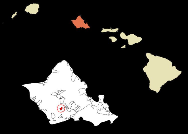
Royal Kunia is a census-designated place (CDP) on the island of Oʻahu in the City & County of Honolulu, Hawaiʻi, United States. As of the 2010 Census, the population of the CDP was 14,525. The area was recorded as the Village Park CDP in prior censuses.
Contents
Geography
Royal Kunia is located just north of Waipahu at 21°24′18″N 158°1′54″W (21.4052, -158.0318). It is bounded on the south by Interstate H-1 and on the west by Kunia Road (State Route 750).
According to the United States Census Bureau, the CDP has a total area of 3.0 square miles (7.8 km2), all of it land.
Demographics
As of the census of 2010, there were 14,525 people, 4,014 households, and 3,524 families residing in the CDP. The racial makeup of the CDP was 12.5% White, 2.5% African American, 0% Native American, 51.7% Asian, 11.3% Pacific Islander, 0.7% from other races, and 21.7% from two or more races. Hispanic or Latino of any race were 9.5% of the population.
The median income for a household in the CDP was $92,471, and the median income for a family was $91,230. The per capita income for the CDP was $26,900. About 4.8% of families and 6.3% of the population were below the poverty line, including 8% of those under age 18 and 4.3% of those age 65 or over.