
State Pennsylvania City Philadelphia Zip code 19128 | County Philadelphia Population 106,265 (2010) | |
 | ||
Country United States of America Restaurants Dalessan Steaks, Manayunk Brewing Company, Fiesta Pizza II, Slices Pizza, Bourbon Blue | ||
4th of july in philadelphia 2015 roxborough manayunk
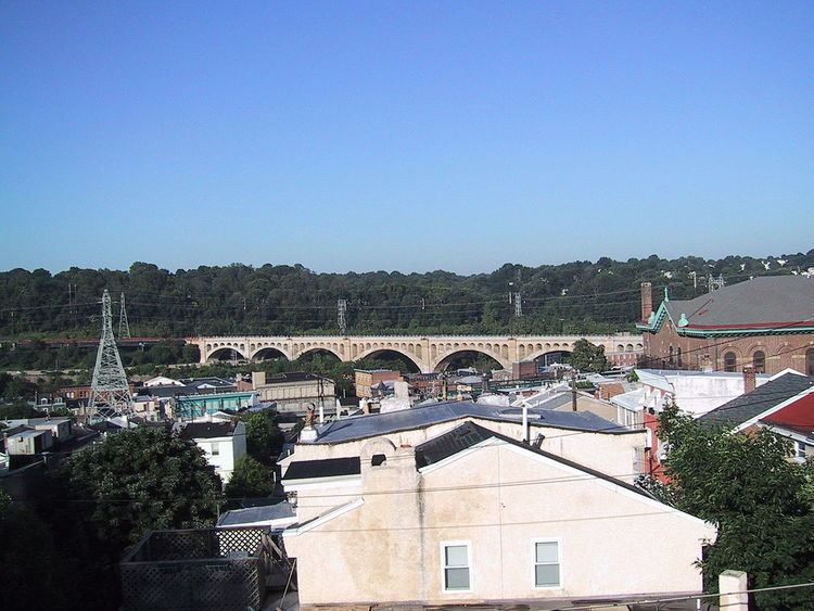
The Roxborough-Manyunk section of Philadelphia is an official planning district of the Philadelphia City Planning Commission, consisting of the namesake boroughs of Roxborough and Manayunk. Geographically, the area is northwest of Center City. Today, this area consists of West Oak Lane, East Mount Airy, Andorra, East Falls, Wissahickon, West Mount Airy, Roxborough, and Manayunk.
Contents
- 4th of july in philadelphia 2015 roxborough manayunk
- Map of Roxborough Manayunk Philadelphia PA USA
- Demographics
- References
Map of Roxborough-Manayunk, Philadelphia, PA, USA
Demographics
The demographics of Roxborough-Manayunk shows that the area has a population 106,265, with 47,884 males, 58,382 females and a median age of 34.
References
Roxborough-Manayunk Wikipedia(Text) CC BY-SA