
Northern end: 1 Hringvegur Length 168 km | Southern end: 35 Biskupstungnabraut | |
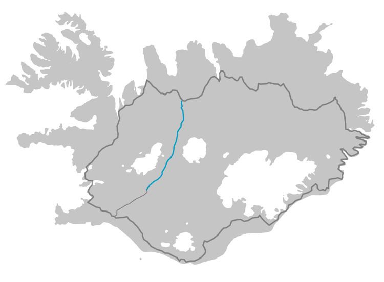 | ||
Kjalvegur is a highland road in Iceland, crossing Kjölur from north to south.
Contents
Map of Kjalvegur, Iceland
History
Formerly, the name referred to a horse-track closer to Langjökull, west of the current road. This track now goes by the name Kjalvegur hinn forni (Ancient Kjalvegur), and is closed to motorized traffic.
Geography
The road begins in the south of Iceland near Haukadalur and behind the Gullfoss waterfall, ending in the north near Blönduós. The road traverses the interior between two glaciers, Langjökull and Hofsjökull. It is the second longest of the roads through the Highlands of Iceland. It takes about 5 hours to traverse by car.
References
Route F35 (Iceland) Wikipedia(Text) CC BY-SA