
Time zone WET (UTC+0) Irish Grid Reference O187029 Local time Thursday 9:52 AM | County Wicklow Eircode (Routing Key) A98 Elevation 238 m Province Leinster | |
 | ||
Weather 7°C, Wind NE at 23 km/h, 83% Humidity | ||
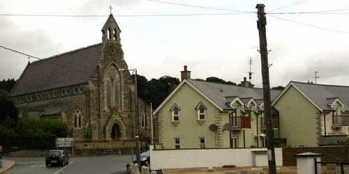
Luggala roundwood county wicklow ireland
Roundwood, historically known as Tóchar (Irish: an Tóchar, meaning "the causeway"), is a village in County Wicklow, Ireland. It was listed as having a population of 833 in the 2011 census.
Contents
- Luggala roundwood county wicklow ireland
- Map of Roundwood Co Wicklow Ireland
- Driving in ireland roundwood to kilmacanogue in 3 and a half minutes
- Geography
- History
- Twin towns Sister cities
- References
Map of Roundwood, Co. Wicklow, Ireland
Driving in ireland roundwood to kilmacanogue in 3 and a half minutes
Geography
Roundwood is located where the R755 road joins the R764 and R765. The R755 is part of the main route from Dublin to Glendalough in the Wicklow Mountains. At 238 metres above sea level, Roundwood is one of the highest villages in Ireland.
Vartry Reservoir Lakes (reservoirs built in the 1860s) are close by.
History
Roundwood has a close association with two former Presidents of Ireland, Seán T. O'Kelly who lived locally and Erskine Childers who is buried in the Church of Ireland Derralossary churchyard near the village.
Twin towns — Sister cities
Roundwood is twinned with the village of Spézet, in Brittany, in the northwest of France. The schools in both areas regularly communicate and engage with another. For many years, exchange programmes have been in place for the students.