Elevation 909 m | ||
 | ||
Similar South Saddle Mountain, Bald Peak, Mount Hebo, Trask Mountain, Cooper Mountain | ||
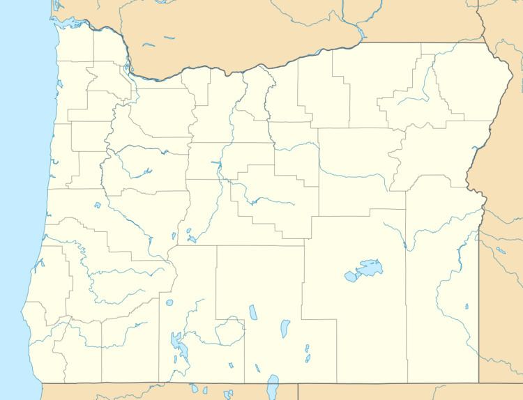
Round Top is a mountain in Washington County, Oregon in the Northern Oregon Coast Range and is located 5 miles (8 km) west of Timber, on Oregon Route 6 and 9 miles (14.5 km) south of South Saddle Mountain. From 1933 to 1946, the summit was the site of a fire lookout tower and cabin.
Map of Round Top, Oregon 97117, USA
References
Round Top (Oregon) Wikipedia(Text) CC BY-SA
